Directions
From I-65, take exit 167 onto US-80 west. Continue for 9 miles, then turn right on County Road 7 and follow signs into the campground.
Phone
334-269-1053
Activities
BIKING, BOATING, CAMPING, FISHING, HUNTING
Keywords
GUNT,JONES BLUFF,ALABAMA RIVERS,WOODRUFF,ROBERT F. HENRY,ROBERT F HENRY,ALABAMA RIV. – WO
Related Link(s)
Overview
Gunter Hill Campground offers a peaceful scene of trees and nature on the backwaters of the Alabama River.
The fishing is excellent, providing challenges for the master angler as well as the occasional cane pole fisherman. Boating, hunting and hiking are popular activities.
Recreation
The area’s waterways offer excellent fishing for crappie, bass and catfish. A boat ramp is provided for easy river access.
The Lowndes Wildlife Management area, located nearby, covers 12,500 acres and offers prime hunting for whitetail deer, wild turkeys and hogs, and a variety of small game and waterfowl.
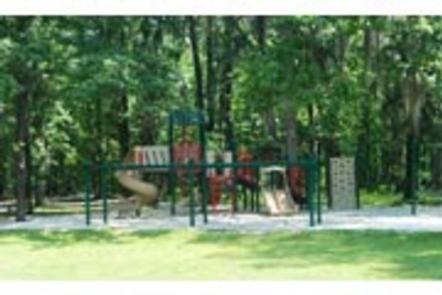
The campground provides a basketball court and playground, offering additional recreation opportunities for visitors.
Facilities
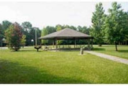
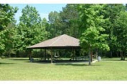
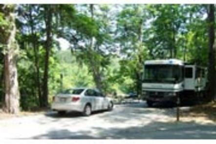
This year-round campground offers 142 sites with electric hookups. Sites 1-75 are newly renovated sites and have concrete pads and sewer. Amenities include flush toilets, showers, drinking water, a dump station and laundry facilities. A picnic shelter is provided for parties and family functions.
Natural Features
The campground is situated on Catoma Creek in a forest of hickory and pine. The region offers a mild climate for year-round camping.


