Black Canyon of the Gunnison NP South Rim Campground, CO Campground Reservation, Info, Images, Map, Directions

Black Canyon of the Gunnison NP South Rim Campground, Colorado Campground Images, Info & Reservations

Listen

Directions

The park is located approximately 250 miles SW of Denver. South Rim: 15 miles east of Montrose, via U.S. Hwy 50 and CO Hwy 347.

Phone

970-249-1914 EXT 425

Activities

CAMPING, INTERPRETIVE PROGRAMS, FISHING, HIKING, PICNICKING, VISITOR CENTER, WILDLIFE VIEWING, WILDERNESS, DAY USE AREA, PHOTOGRAPHY, STAR GAZING, BIRDING, CROSS COUNTRY SKIING, EVENING PROGRAMS, GUIDED INTERPRETIVE WALKS, SCENIC DRIVE, BACKPACKING, AMPHITHEATER

Keywords

SRCG,Black Canyon National Park,Gunnison National Park,Gunnison Nation Forest,Black Canyon,Black Canyon of Gunnison,Black Canyon

Related Link(s)

Rec Area Info & Images

Colorado State Tourism

Colorado State Road Conditions

Overview

A camping trip to the Black Canyon of Gunnison National Park makes for a beautiful getaway for sightseeing, stargazing, and hiking. The park protects the most dramatic section of the Gunnison River Canyon; no other canyon in North America combines the narrow opening, sheer walls, and startling depths of Black Canyon.

Recreation

Take one of many spectacular hikes such as the Oak Flat Loop Trail, and watch for the black-billed magpie. In summer, catch an evening educational program in the campground amphitheater. In winter, try snowshoeing on Rim Rock Trail or go cross country skiing on South Rim Drive.

Facilities

Campsites are open year round, but drinking water is only available mid-May through mid-October. Electric hookups are in Loop B and available in the summer only.

Natural Features

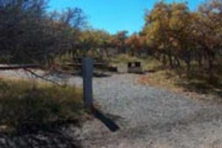
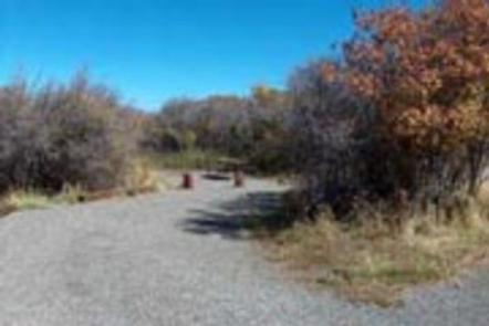
Perched on the South Rim of the Black Canyon, this campground is surrounded by scrub oak forests and sits atop ancient hard rocks. Deer, grouse, bears, and bobcats are known to frequent the area.

Nearby Attractions

Visit the Cimarron Rail Exhibit to see railcars and the last remaining railroad trestle on the Black Canyon of the Gunnison route. Head upstream to Curecanti National Recreation Area to enjoy water recreation on Colorado’s largest reservoir.

Reservation

More from CampingHiking.net:

HANNA FLAT, California Campground Images, Info & Reservations

Listen Directions Travel east on I10 (Highway 330) to Running Springs. Turn onto Highway 18 and continue to Big Bear Lake Dam but do not cross the dam. Highway 18 becomes Highway 38. Continue to the Fawnskin Fire Station and turn left onto Rim of the World Drive (Forest Route

GROUP CAMP, Oklahoma Campground Images, Info & Reservations

Listen Directions From Sawyer, OK, take Highway 147 north for nearly 4 miles, follow posted signs, and stay with the paved road to the campground. Phone 580-326-0173 Activities BOATING, CAMPING, FISHING, HIKING, WILDLIFE VIEWING Keywords Hugo Group Related Link(s) Rec Area Info & Images Oklahoma State Tourism Oklahoma State Road

DOUGLAS CREEK CABIN, Montana Campground Images, Info & Reservations

Listen Directions From Hall, travel south on Highway 1 for about 3 miles to Douglas Creek. Take Forest Road 707 and continue approximately 7 miles to the cabin. Maps may be purchased by calling the Pintler Ranger District. Phone 406-859-3211 Activities BIKING, CAMPING, HIKING, HUNTING, WINTER SPORTS, WILDLIFE VIEWING Keywords

DAVIDOF LAKE CABIN, Alaska Campground Images, Info & Reservations

Listen Directions Accessible early June through October. Located 40 air miles southeast of Sitka, east of Whale Bay, within South Baranof Wilderness Area. Access is by float plane only, and takes 35 minutes from Sitka. For geographic features surrounding cabin, refer to USGS topographic map Port Alexander C-3. Phone 907-747-6671

RUARK BLUFF EAST, Missouri Campground Images, Info & Reservations

Listen Directions From Greenfield, Missouri, take State Highway H. north for 6.4 miles and turn right onto the park access road. Follow signs into the park area. Phone 417-637-5303 Activities BOATING, CAMPING, FISHING, WILDLIFE VIEWING, SWIMMING SITE Keywords RUAR,STOCKTON LAKE,TWIN BRIDGES,STOCKTON LAKE Related Link(s) Rec Area Info & Images Missouri