
Directions
From Oakridge, Oregon, follow Highway 58 west about 8 miles to Black Canyon Campground, located 1 mile east of Lookout Point Reservoir.
Phone
801-226-3564
Activities
BIKING, BOATING, FISHING, KAYAKING
Keywords
BCAN,WILLAMETTE NF -FS
Related Link(s)
Overview
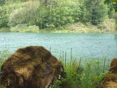
Black Canyon Campground in Oregon rests next to the Middle Fork of the Willamette River. This scenic campground is heavily shaded by towering hemlock, cedar and Douglas fir. Fishing and kayaking are a popular pastimes.
Recreation
A 1-mile interpretive nature trail winds through the campground, and Lookout Point Lake is less than a mile away, with opportunities for boating and fishing. A boat ramp is located on the lake.
The Willamette National Forest has about 1,700 miles of trails. While many are located in wilderness areas, a number of trails are situated at lower elevations and provide easy, year-round hiking.
Black Canyon is within the Winberry Trail Area, with excellent terrain like the Tire Mountain Trail for mountain biking and horseback riding, and the Clover Patch Trail for hiking.
Facilities
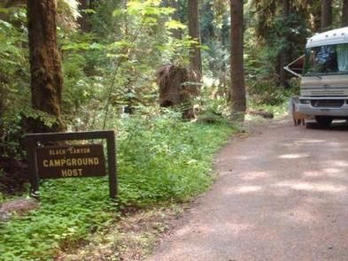
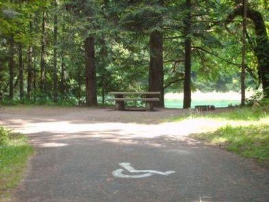
The campground offers some riverside sites with pleasant shade, fresh air with cool breezes. There are 75 sites, 19 are reservable. Each site contains a picnic table and campfire ring with grill. Accessible vault toilets and drinking water are provided.
Natural Features
The Willamette National Forest stretches 110 miles along the western slope of the Cascade Range in western Oregon. Elevations on the forest range from about 1,500 feet above sea level to 10,495 feet at the snowcapped summit of Mt. Jefferson, Oregon’s second highest peak. Wildlife in the region includes black tail deer, Roosevelt elk, bobcats and bald eagles.
Nearby Attractions
Visitors enjoy sightseeing along the West Cascades Scenic Byway. The drive begins at Westfir and stretches 220 miles past waterfalls, ancient forests and numerous rivers, creeks and lakes.