Directions
From State Highway 89, turn east onto State Highway 62 and travel about 12 miles, where it turns into State Highway 22 just north of Antimony. In this town, Forest Road 126 will be found on the west side of the road. Travel along this high-clearance dirt road about 12 miles to reach Jones Corral Guard Station.
From Bryce Canyon National Park, travel north on State Highway 22 approximately 35 miles to Antimony. In this town, Forest Service Road 126 will be found on the west side of the highway. Travel along this high-clearance dirt road about 12 miles to Jones Corral Guard Station.
Phone
435-676-9300
Activities
BIKING, CAMPING, HIKING, HORSEBACK RIDING, HUNTING, WILDLIFE VIEWING
Keywords
JOGS,DIXIE NF – FS
Related Link(s)
Overview
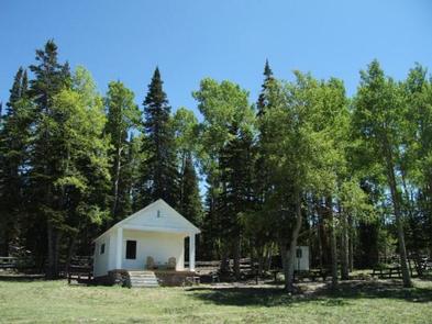
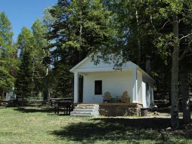
Jones Corral Guard Station is located on the Dixie National Forest, 12 miles west of the small town of Antimony, in southern Utah. It was constructed in 1935 and has been used by generations of Forest Service employees working in the surrounding back country.
The guard station provides a great base camp for hikers, hunters, bicyclists and horseback riders, as well as off-road vehicle enthusiasts.
Recreation
Recreational opportunities include hiking, mountain biking, horseback riding, hunting, wildlife viewing and exploring off-road vehicle trails. The Fremont OHV Trail can easily be accessed from the guard station. Mount Dutton is well-known for its trophy game animals.
Facilities
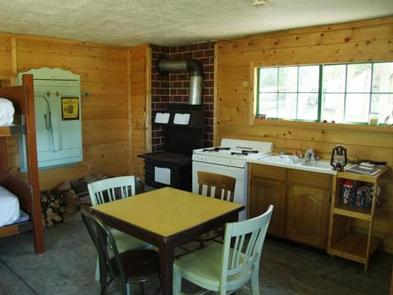
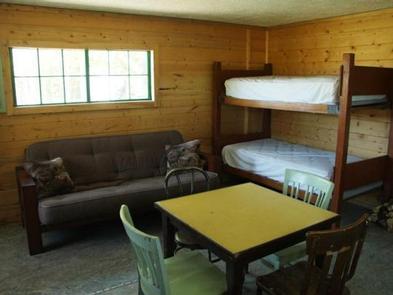
The rustic cabin can sleep four people comfortably, but up to six guests are allowed. Two sets of twin-size bunk beds and a double futon are provided. Guests must bring their own linens.
The kitchen is equipped with a propane stove and oven, a table and chairs. Pots, pans, dishes and utensils are not available and guests must bring their own. The cabin does not have running water.
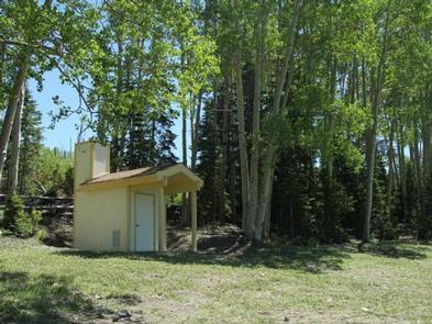
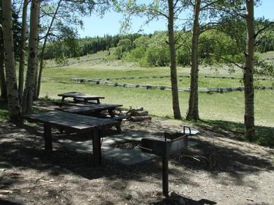
Outside the cabin, guests will find a level parking area for RVs or trailers. A vault toilet, picnic table and campfire ring are provided.
Natural Features
The remote cabin sits on Mount Dutton at the edge of a beautiful meadow with scenic views. A forest of aspens and spruce trees surrounds the broad meadow. Average summer temperatures range from 74 degrees in the daytime, to 42 degrees at night. September temperatures range from 68 to 37 degrees and October temperatures range from 57 to 27 degrees.

