Directions
Boulder Oaks is located 55 miles east of San Diego, California. Take I-8 to the Buckman Springs Road exit. Continue east on Old Highway 80 for 2 miles to the campground entrance. Campground is located on the right hand side of the road when heading east.
Phone
619-445-6235
Activities
CAMPING, HIKING, HORSEBACK RIDING, HUNTING, PICNICKING, WILDLIFE VIEWING, HORSE CAMPING, BIRDING, BACKPACKING
Keywords
CLEV,CLEVELAND NF – FS
Related Link(s)
California State Road Conditions
Overview
Boulder Oaks offers equestrian and family sites in the scenic Cleveland National Forest, about an hour away from San Diego, California.
Visitors are drawn here for the convenience of horseback riding and day hiking on the Pacific Crest Trail, as well as picnicking in the beautiful mountain setting.
Recreation
The national forest lends itself well to horseback riding and hiking. Boulder Oaks has direct access to a segment of the 2,650-mile Pacific Crest Trail, a national scenic trail that runs from Mexico to Canada. Horseback riding is also permitted on all Cleveland National Forest roads and trails, except for nature trails.
Facilities
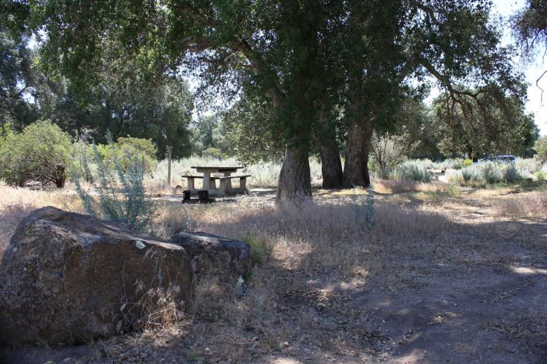
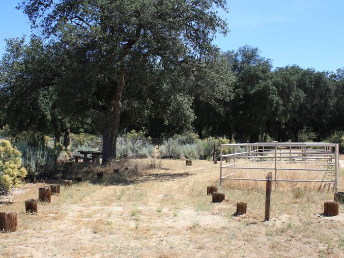
The campground consists of two loops. One has equestrian sites and corrals, and the other offers family campsites. The facility is equipped with one vault toilet.
Natural Features
The campground sits at an elevation of 3,300 ft. with oak and manzanita trees providing shade. The surrounding mountains are dotted with sagebrush, and wildflowers add color to the landscape in spring and early summer. The area is home to many species of local and migratory birds. The campground is habitat for the endangered Arroyo Toad.
Nearby Attractions
Pacific Crest National Scenic Trail


