Directions
On the Fryingpan River about 15 miles east of Basalt, Colorado and 30 miles southeast of Glenwood Springs, Colorado. Take State Road 82 about 30 miles south of Glenwood Springs to reach road leading to Basalt.
Phone
970-945-2521
Activities
BOATING, CAMPING, FISHING, HIKING, HUNTING, PICNICKING, RECREATIONAL VEHICLES, WATER SPORTS
Camping Reservations
Reserve your campsite at these camping areas:
Hiking Trails
Looking for nice hiking areas to take a hike? Choose from these scenic hiking trails:
Related Link(s)
More Colorado Recreation Areas
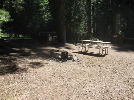
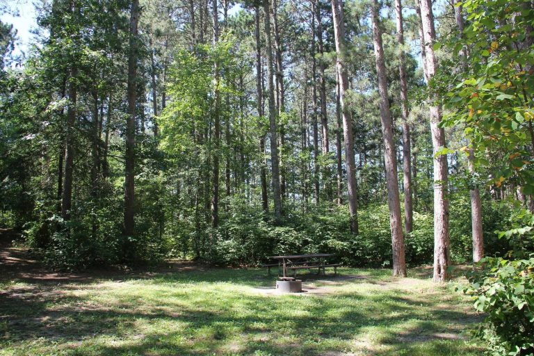
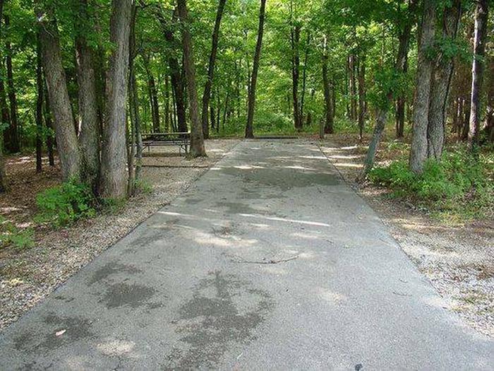
Ruedi Dam and Reservoir, features of the Fryingpan Arkansas Project, are on the Fryingpan River about 15 miles east of Basalt, Colorado. Ruedi Dam is a rock and earthfill structure that stands about 285 feet high above streambed and has a crest length of 1,042 feet. The Reservoir is on the western slope of the Rocky Mountains, where snow-capped mountain peaks reach over 13,000 feet and the thickly forested slopes provide an exceptionally beautiful background for recreation activities. Recreation facilities consist of 4 campgrounds accommodating 81 campsites and 2 boat-launching ramps. Surface available for recreation includes 997 acres. Primary recreation activities include camping, motorized boating, sailing, and fishing. Access is good. Game fish species available include rainbow trout, brown trout, and mackinaw trout. Facilities closed in winter due to ice and snow. Current reservoir levels.

