Cottonwood Springs Lake, South Dakota Camping & Hiking

Cottonwood Springs Lake, South Dakota Camping & Hiking

Cottonwood Springs Lake Image Gallery

Directions

5 miles west of Hot Springs just off Highway 18.

Phone

(605) 745-5476

Activities

BOATING, PICNICKING, WATER SPORTS, WILDLIFE VIEWING, PLAYGROUND PARK SPECIALIZED SPORT SITE

Camping Reservations

Reserve your campsite at these camping areas:

South Dakota Campgrounds

Hiking Trails

Looking for nice hiking areas to take a hike? Choose from these scenic hiking trails:

South Dakota Hiking Trails

Related Link(s)

More South Dakota Recreation Areas

Cottonwood Springs Lake Website

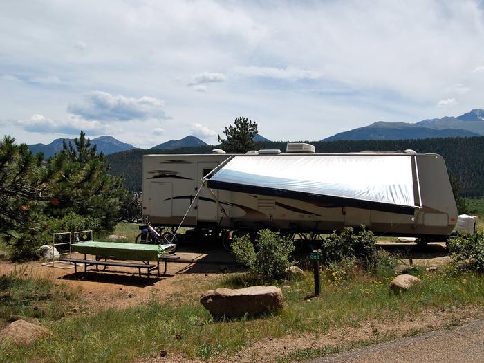
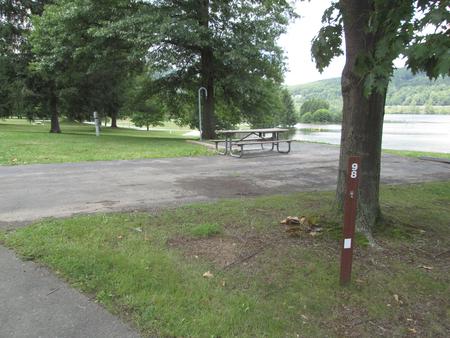
Cottonwood Springs Dam, SD was constructed to reduce flood damages in the Fall River Basin. Located just 5 miles west of Hot Springs on U.S. Highway 18 and nestled in the rugged hills and evergreen trees of the southern Black Hills, Cottonwood Springs Lake is the place to go for nature lovers. This recreation area offers primitive camping only (no hookups), hiking, fishing (only electric motors), and picnicking.

More from CampingHiking.net:

Names Hill, Wyoming Camping & Hiking

Directions 34 miles north of Kemmerer on US 189. Phone 307-367-5300 Activities CAMPING, FISHING, PICNICKING Camping Reservations Reserve your campsite at these camping areas: Wyoming Campgrounds Hiking Trails Looking for

Grandstaff Canyon, Utah Camping & Hiking

Directions Negro Bill Canyon WSA is located northeast of Moab. The mouth of Grandstaff Canyon is accessible from Utah State Highway 128. The Sand Flats Road provides access to the

Avalon Reservoir, New Mexico Camping & Hiking

Directions Coming from north, take U.S. Highway 285 into Carlsbad, New Mexico. Left on Canal Street, 3 miles to Avalon Road, turn left. Phone 575-885-3203 Activities BOATING, FISHING Camping Reservations