Directions
From Terre Haute, 30 miles east on I-70, 5 miles south on IN 243.
Phone
(765) 795-4439
Activities
BOATING, FISHING, HIKING, PICNICKING, WATER SPORTS, WILDLIFE VIEWING, PLAYGROUND PARK SPECIALIZED SPORT SITE, ENVIRONMENTAL EDUCATION
Camping Reservations
Reserve your campsite at these camping areas:
Hiking Trails
Looking for nice hiking areas to take a hike? Choose from these scenic hiking trails:
Related Link(s)
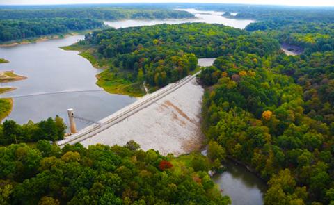
Cagles Mill Lake: The control tower is round and the outlet works conduit was mined through solid rock. Cataract Falls, with upper and lower falls, is the largest waterfall (by volume) in Indiana. The lower falls ends at the headwater of the lake and is accessible by boat. The Corps’ Tailwater Areas and much of the operational area around the dam have been designated by the Indiana Department of Natural Resources as a State of Indiana Natural Area.


