Directions
Several exits from I-65 south offer access. From Brownsville, north 5 miles on KY 259, right on KY 728, follow signs.
Phone
(270) 286-4511
Activities
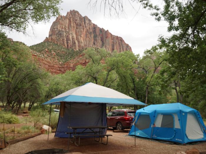
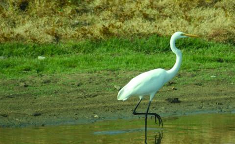
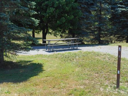
BIKING, BOATING, CAMPING, FISHING, HIKING, PICNICKING, WATER SPORTS, WILDLIFE VIEWING, PLAYGROUND PARK SPECIALIZED SPORT SITE, OTHER RECREATION CONCESSION SITE, HOTEL/LODGE/RESORT PRIVATELY OWNED, ENVIRONMENTAL EDUCATION
Camping Reservations
Reserve your campsite at these camping areas:
Hiking Trails
Looking for nice hiking areas to take a hike? Choose from these scenic hiking trails:
Related Link(s)
More Kentucky Recreation Areas
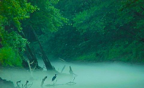
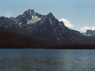
Nolin River Lake has an average annual visitation of over two million and maintains one of the lowest drowning rates in the State. Known for its unique blue/green water, Nolin is one of the top five lakes in Kentucky for catfish, bass, crappie, and walleye fishing. The majority of the path Nolin River follows is located within the boundary of Mammoth Cave National Park, making for very scenic canoe trips.

