Directions
From Interstate 40, Take exit #81(State Highway #7), Trun left (south) on Highway 7, Travel 5 miles to Highway 7 spur turn right, Travel 3 miles on Highway 7 spur, Arrive at the Russellvile Project Office/Lake Dardanelle Field Office.
Phone
(479) 968-5008
Activities
BIKING, BOATING, CAMPING, FISHING, PICNICKING, VISITOR CENTER, WATER SPORTS, WILDLIFE VIEWING, PLAYGROUND PARK SPECIALIZED SPORT SITE, OTHER RECREATION CONCESSION SITE, HOTEL/LODGE/RESORT PRIVATELY OWNED, ENVIRONMENTAL EDUCATION
Camping Reservations
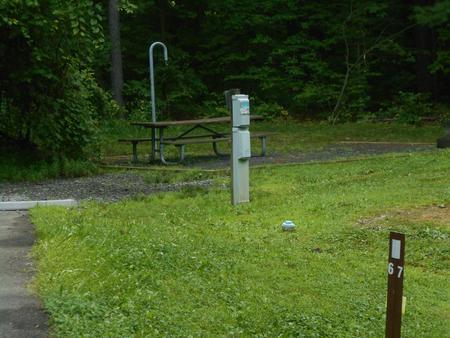
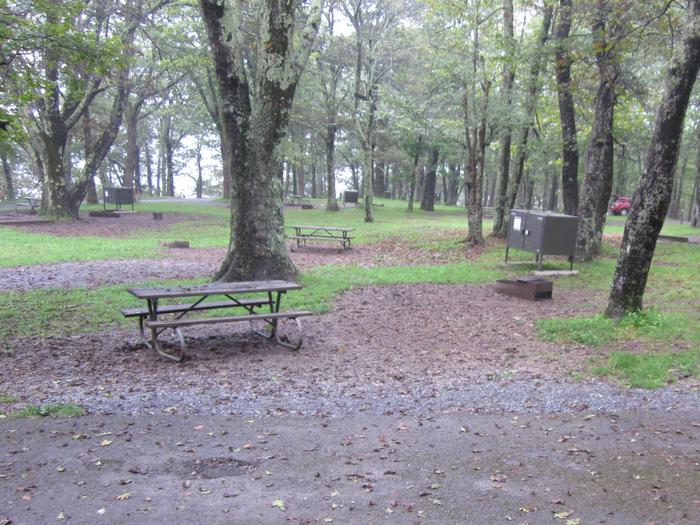
Reserve your campsite at these camping areas:
Hiking Trails
Looking for nice hiking areas to take a hike? Choose from these scenic hiking trails:
Related Link(s)
More Arkansas Recreation Areas
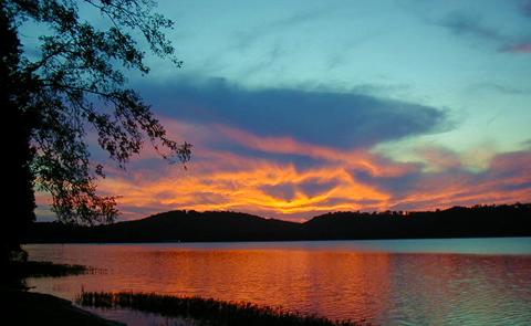
Located near the Ozark and Ouachita National Forests, the picturesque shoreline, excellent fishing and abundant wildlife provide ideal conditions for nature enthusiasts and camera bugs. The river valley is a favorite wintering area for the American bald eagle. Parks offer modern amenities such as boat launching ramps, drinking water, camping areas, picnic sites and other facilities for the convenience of all.


