Directions
The site is 11 miles west of Clinton, Oklahoma, then two miles north on Highway 44 (or 7 miles north of Foss on Highway 44).
Phone
580-592-4433
Activities
BOATING, CAMPING, FISHING, HIKING, HORSEBACK RIDING, HUNTING, PICNICKING, RECREATIONAL VEHICLES, WATER SPORTS, SWIMMING SITE, OTHER RECREATION CONCESSION SITE
Camping Reservations
Reserve your campsite at these camping areas:
Hiking Trails
Looking for nice hiking areas to take a hike? Choose from these scenic hiking trails:
Related Link(s)
More Oklahoma Recreation Areas
Washita National Wildlife Refuge
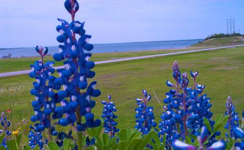
Foss Dam and Reservoir, on the Washita River in Custer County, provide regulation of the river flows and municipal and industrial water supplies for several cities in Oklahoma. The lake has approximately 6,800 water surface acres, 7,000 land acres and 63 miles of shoreline. Accessible from numerous roads. Several boat ramps and camping facilities. Predominate species include largemouth bass, crappie, catfish, and white bass. Fishing year-round.Foss Dam and Reservoir are features of the Washita Basin Project. Current Reservoir Levels

