Directions
Take Highway 61 to Highway 48 (Apple Street) into Norco. Turn right at River Road and go 1 mile.
Phone
(985) 764-0126
Activities
BIKING, BOATING, FISHING, HIKING, OFF HIGHWAY VEHICLE, PICNICKING, WATER SPORTS, WILDLIFE VIEWING, PLAYGROUND PARK SPECIALIZED SPORT SITE, ENVIRONMENTAL EDUCATION
Camping Reservations
Reserve your campsite at these camping areas:
Hiking Trails
Looking for nice hiking areas to take a hike? Choose from these scenic hiking trails:
Related Link(s)
More Louisiana Recreation Areas
Bonnet Carre Spillway Photo Album
Bonnet Carre Spillway Hunting Map
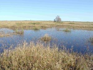
Over the years, the Bonnet Carre Spillway has developed into an extensively used outdoor recreation area with approximately 250,000 visitors enjoying the spillway each year. These lands and waters provide opportunities for fishing, crawfishing, hunting, dog training, camping and wildlife watching. More specialized activities include retriever dog field trials and model airplane flying competitions. The spillway contains two boat launching sites and a primitive campground, provided by St. Charles Parish. Additional onsite management is planned to enhance the recreation and natural resource values of the project lands and waters.

