Directions
You can reach the refuge by taking Riverside Road, on the south bank of the Kootenai River, at Bonners Ferry. Drive west for 5 miles to the refuge entrance. The office is 2 miles beyond the entrance. Drive with caution! The county roads are narrow and used by logging trucks.
Phone
208-267-3888
Activities
AUTO TOURING, INTERPRETIVE PROGRAMS, FISHING, HIKING, HUNTING, WILDLIFE VIEWING, ENVIRONMENTAL EDUCATION, PHOTOGRAPHY
Camping Reservations
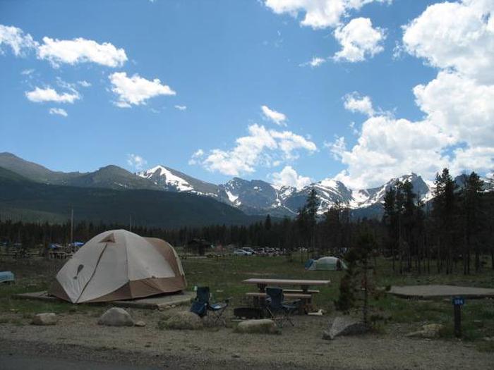
Reserve your campsite at these camping areas:
Hiking Trails
Looking for nice hiking areas to take a hike? Choose from these scenic hiking trails:
Related Link(s)
Kootenai National Wildlife Refuge
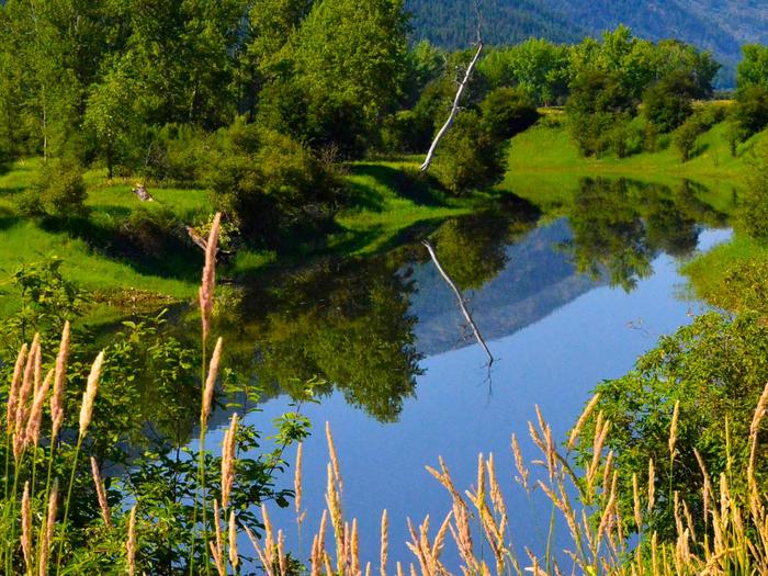
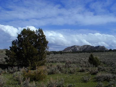
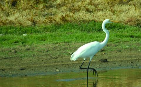
Located 20 miles from the Canadian border and 5 miles from the town of Bonners Ferry, Idaho, Kootenai National Wildlife Refuge is bordered by the rugged Selkirk Mountains to the west, the Kootenai River, Deep Creek to the east, and State lands to the south. Kootenai Refuge provides diverse habitats that consist primarily of wetlands with associated uplands, and hardwood/conifer forests. Although the purpose of the refuge is to provide migration habitat for thousands of waterfowl, more than 300 species of vertebrates, including nesting bald eagles, use the refuge for migration and breeding.

