Aztec Ruins National Monument, New Mexico Camping & Hiking

Aztec Ruins National Monument, New Mexico Camping & Hiking

Aztec Ruins National Monument Image Gallery

Directions

From Albuquerque/Bloomfield, NM: Follow Hwy 550 north into Aztec, turn left onto Highway 516, drive 3/4 mile, then turn right onto Ruins Road. Follow Ruins Road 1/2 mile to the monument. From Durango, CO: Follow Hwy 550 south into Aztec, where it will become 516. Turn right onto Ruins Road. Follow Ruins Road 1/2 mile to the monument. From Farmington, NM Follow Highway 516 east into Aztec. 1/4 mile past Lightplant Road, turn left onto Ruins Road. Follow Ruins Road 1/2 mile to the monument.

Phone

(505) 334-6174

Activities

HISTORIC & CULTURAL SITE, HIKING

Camping Reservations

Reserve your campsite at these camping areas:

New Mexico Campgrounds

Hiking Trails

Looking for nice hiking areas to take a hike? Choose from these scenic hiking trails:

New Mexico Hiking Trails

Related Link(s)

More New Mexico Recreation Areas

Aztec Ruins National Monument Official Website

Aztec Ruins National Monument Map

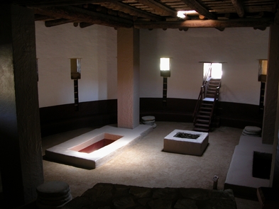
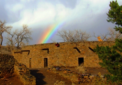
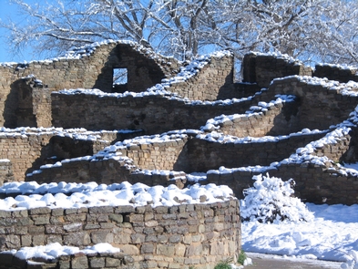
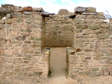
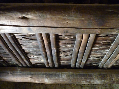
Pueblo people describe this site as part of their migration journey. Today you can follow their ancient passageways to a distant time. Explore a 900-year old ancestral Pueblo Great House of over 400 masonry rooms. Look up and see original timbers holding up the roof. Search for the fingerprints of ancient workers in the mortar. Listen for an echo of ritual drums in the reconstructed Great Kiva.

More from CampingHiking.net:

Toronto Lake, Kansas Camping & Hiking

Directions From El Dorado, 50 miles east on US 54, 9 miles south on KS 105. Phone (620) 658-4445 Activities BIKING, BOATING, CAMPING, FISHING, HIKING, PICNICKING, WATER SPORTS, WILDLIFE VIEWING,

Box Butte Reservoir, Nebraska Camping & Hiking

Directions Take Nebraska 385 north 10 miles, turn right on county road. Phone 308-665-2930 Activities BOATING, CAMPING, FISHING, HUNTING, PICNICKING, WINTER SPORTS, RECREATIONAL VEHICLES, WATER SPORTS, WILDLIFE VIEWING Camping Reservations

Sevier River, Utah Camping & Hiking

Directions Access to the Sevier River can be found by taking Highway 89 up Marysvale Canyon. Phone 435-896-1500 Activities CAMPING, FISHING, WATER SPORTS, WILDLIFE VIEWING, ENVIRONMENTAL EDUCATION, PHOTOGRAPHY Camping Reservations

Gunlock State Park, Utah Camping & Hiking

Directions Approximately 318 miles south of Salt Lake City. 15 miles northwest of St. George on Gunlock Road/Old 91. Boat ramp hours vary by season. Phone 435-680-0715 Activities AUTO TOURING,