Directions
Much of the year, the park’s North Entrance is closed to cars. The North Entrance Road closes for the season on November 1 (or earlier if there is significant snowfall) and tends to open in early June. The park™s South Entrance is open year round. Winter travelers from Roseburg will need to take Route 138 east to Route 230 south to Route 62 east to the park’s west entrance. Winter travels from Bend will take Route 97 south to Route 62 north and west to the park’s south entrance.
Phone
(541) 594-3000
Activities
AUTO TOURING, BIKING, BOATING, CLIMBING, CAMPING, FISHING, HIKING, PICNICKING, WATER SPORTS, WILDLIFE VIEWING, PADDLING, SWIMMING
Camping Reservations
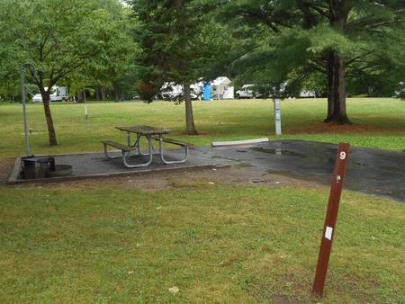
Reserve your campsite at these camping areas:
Hiking Trails
Looking for nice hiking areas to take a hike? Choose from these scenic hiking trails:
Related Link(s)
Crater Lake National Park Official Website
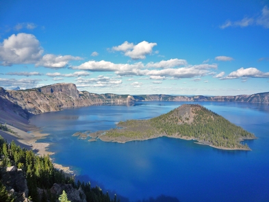
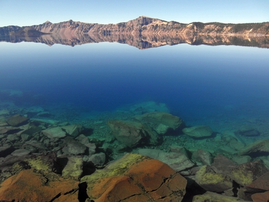
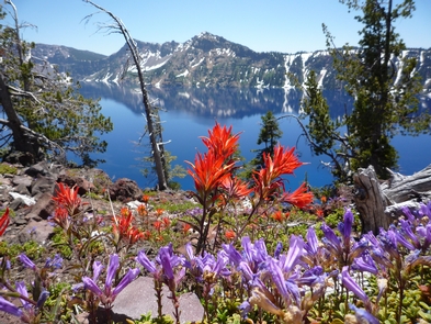
Crater Lake inspires awe. Native Americans witnessed its formation 7,700 years ago, when a violent eruption triggered the collapse of a tall peak. Scientists marvel at its purity: fed by rain and snow, it™s the deepest lake in the USA and one of the most pristine on earth. Artists, photographers, and sightseers gaze in wonder at its blue water and stunning setting atop the Cascade Mountain Range.

