Directions
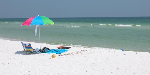
Gulf Islands National Seashore is a place of myriad riches – blue-green, sparkling waters, magnificent white beaches, and fertile coastal marshes. Its 13 areas include historic forts, shaded picnic areas, trails, and campgrounds. From Cat Island, Mississippi, it stretches eastward 160 miles tot he Okaloosa Area east of For Walton Beach, Florida.
Phone
(850) 934-2600
Activities
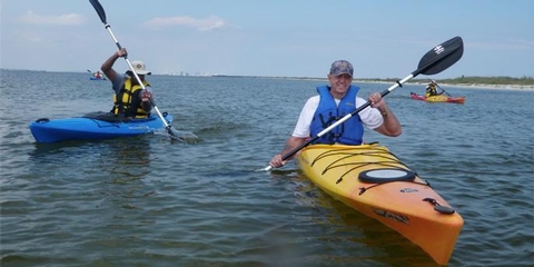
BIKING, BOATING, HISTORIC & CULTURAL SITE, CAMPING, FISHING, HIKING, HORSEBACK RIDING, HUNTING, PICNICKING, WILDLIFE VIEWING, PADDLING, SWIMMING, DIVING, SNORKELING
Camping Reservations
Reserve your campsite at these camping areas:
Hiking Trails
Looking for nice hiking areas to take a hike? Choose from these scenic hiking trails:
Related Link(s)
Gulf Islands National Seashore Official Website
Gulf Islands National Seashore Map
What is it that entices people to the sea? Poet John Masefield wrote, I must go down to the seas again, for the call of the running tide is a wild call and a clear call that may not be denied. Millions of visitors are drawn to the islands in the northern Gulf of Mexico for the white sandy beaches, the aquamarine waters, a boat ride, a camping spot, a tour of an old fort, or a place to fish.

