Directions
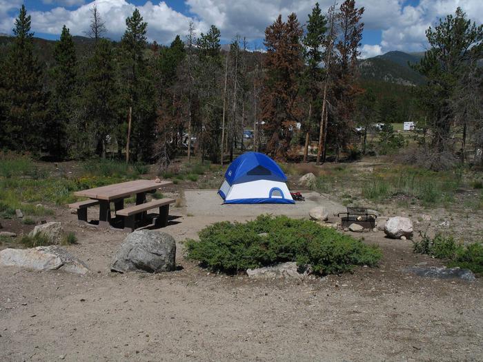
From Lander, go south about 28 miles on State Highway 28 to the Atlantic City turnoff. Travel the gravel road for about 1/2 mile from the pavement. You can park here and start following the signs to Atlantic City/South Pass City or Miner’s Delight along the Ft. Stambaugh Loop Road. Several routes are available along county and BLM roads. Please be aware of vehicle traffic when riding in this area as well as private property. Atlantic City and Big Atlantic Gulch BLM campgrounds (water available) make good base camps.
Phone
307-382-8400
Activities
BIKING, CAMPING, FISHING, HIKING, HORSEBACK RIDING, WILDLIFE VIEWING, PHOTOGRAPHY
Camping Reservations
Reserve your campsite at these camping areas:
Hiking Trails
Looking for nice hiking areas to take a hike? Choose from these scenic hiking trails:
Related Link(s)
This area is rich in 19th century mining history. Travel graveled roads to Atlantic City, South Pass City State Historic Site, the ghost town of Miner’s Delight, or ride along two-track roads through stands of pine and aspen.
The many possible rides in the area include the 11-mile Ft. Stambaugh Loop Road (BLM 2324), including Miner’s Delight, and all day rides taking in Atlantic City and South Pass City State Historic Site. You can view various wildlife along the way, including pronghorn, deer, elk, moose and raptors.
HISTORY
During the 1800s, Wyoming became the focus for American expansion into the trans-Mississippi west. Robert Stuart™s discovery of South Pass in October 1812 gave hope that a practical overland route to the Pacific (the route Lewis and Clark searched for but failed to find) did exist.
By 1824, South Pass was in annual use by mountain men and trappers engaged in the Rocky Mountain Fur Trade. Soon trappers discovered connections that linked South Pass with the Snake and Columbia rivers and with the Hudson™s Bay Company holdings of the Pacific Northwest.
Some 150,000 pioneers went west between the years of 1849 and 1852. By the mid-1850s, stage coaches and freight wagons were regular users of the California, Mormon Pioneer and Oregon trails, rolling both east and west through South Pass. For 19 months in 1860-61, the riders of the Pony Express transcontinental mail service thundered through the pass on an incredible schedule covering 2,000 miles from St. Joseph, Missouri, to San Francisco, California, in 10 days or less.
Historians estimate that some 500,000 pioneers went westering along the South Pass trail system before the great overland wagon train migrations slowed down with the completion of the transcontinental railroad in 1869. About 80,000 were headed for the Willamette Valley in Oregon. Some 70,000 Mormons had the Great Salt Lake region as their destination. Most of the remaining 350,000 were bound for California with just a few headed for intermediate destinations. Of those that started the journey, one in 10 would not complete it. Thousands would die along the way, mostly from accidents, cholera and other diseases. Some would simply get to their destination and turn back.

