Directions
From Needles, CA, take I-40 west approx. 25 miles to the Mountain Springs Road exit. Exit south and take National Trails Highway west approx. 22 miles to BLM Route NS206. Turn right on NS206 and drive approx. 3 miles. An informational kiosk will be on your right hand side.
Phone
760-326-7000
Activities
BIKING, CAMPING, HIKING, HORSEBACK RIDING, HUNTING, WILDLIFE VIEWING, ENVIRONMENTAL EDUCATION, PHOTOGRAPHY
Camping Reservations
Reserve your campsite at these camping areas:
Hiking Trails
Looking for nice hiking areas to take a hike? Choose from these scenic hiking trails:
Related Link(s)
More California Recreation Areas
Bonanza Springs Watchable Wildlife Area
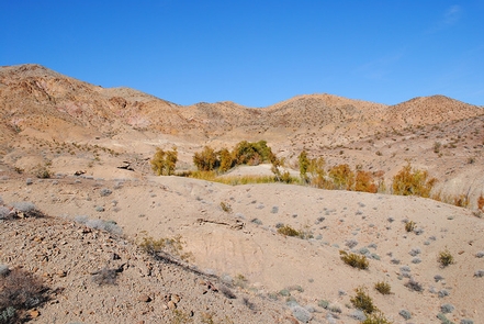
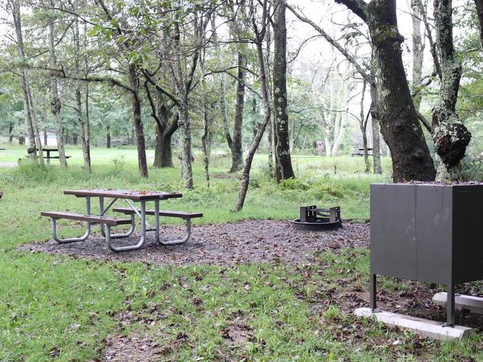
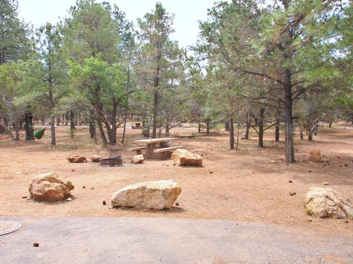
This is one of the few natural watering areas for wildlife within the Mojave Desert. It is tucked into a beautiful, small canyon of yellow and white limestone. Visitors are asked to minimize their stays near the water and to use the adjacent viewing areas, which have picnic tables and fire pits. Dispersed camping accommodations area available downstream for larger groups.


