Directions
From Highway 9, take the North Fork County Road. After 5 Ð… miles, the road will turn to dirt. Once you™ve left pavement, travel on the North Fork Road for 3 miles. There will be a kiosk with an informational sign about Birch Hollow on the northern side of a pullout. This is the Birch Hollow Trailhead. To access the Orderville Gulch Trailhead, continue past the Birch Hollow Trailhead on the North Fork road until you reach BLM route 92. There is a sign on the west side of North Fork Road indicating that route 92 accesses Orderville Gulch. If you do not have a four-wheel-drive, high-clearance vehicle, park on the eastern side of the gate and follow the route for 3 miles to the Orderville Gulch Trailhead. BLM route 92 beyond the gate, requires a four-wheel-drive, high clearance vehicle. This route is not recommended for travel in a passenger car. The dirt portion of the North Fork County Road and all other routes in the area are impassable when wet due to its clay based soil. When wet, the road becomes muddy and can be impassable even for four-wheel-drive, high-clearance vehicles. It is most often impassable in winter and monsoonal months.
Phone
435-644-1200
Activities
CAMPING, HIKING, HUNTING, WILDLIFE VIEWING, ENVIRONMENTAL EDUCATION, PHOTOGRAPHY
Camping Reservations
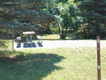
Reserve your campsite at these camping areas:
Hiking Trails
Looking for nice hiking areas to take a hike? Choose from these scenic hiking trails:
Related Link(s)
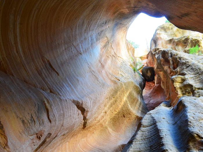
While Birch Hollow offers spectacular views, it requires a technical rope descent down rappels as long as 120 feet. The canyon exits in Orderville Gulch. From there, you can continue upstream to exit at the Orderville Gulch Trailhead, or continue downstream and exit in Zion National Park. If you chose to exit the Gulch downstream, a permit from Zion National Park is required prior to your trip. A second vehicle is needed to shuttle hikers from the Orderville Gulch Trailhead, or Zion National Park, back to their vehicle at the Birch Hollow Trailhead. For more information, detailed maps, and current conditions, contact the Grand Staircase-Escalante National Monument Visitor Center in Kanab, UT. Type of Trip: This is typically done as a day trip. If exiting the canyon at the upstream Orderville Gulch Trailhead, it usually takes approximately 4 to 6 hours. If you exit downstream in Zion National Park, it will take approximately 8 to 12 hours. A permit is required from Zion National Park to exit downstream from Birch Hollow. Mileage: 5 Ð… miles to the Orderville Gulch Trailhead 8 Ð… miles to the top of route 92 11 miles to Temple of Sinawava Amenities: The Birch Hollow trailhead offers an informational kiosk. Water is not available in the area. It is recommended that each person bring at least one gallon (4 liters) of water per person per day in the summer months. There are no other amenities available in the area.


