Activities
AUTO TOURING, BIKING, CAMPING, FISHING, HIKING, HORSEBACK RIDING, OFF HIGHWAY VEHICLE, RECREATIONAL VEHICLES, FIRE LOOKOUTS/CABINS OVERNIGHT, SWIMMING, HORSE CAMPING
Camping Reservations
Reserve your campsite at these camping areas:
Make camping reservations at the following Six Rivers National Forest camping areas:
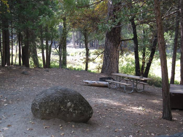
PANTHER FLAT CAMPGROUND – Panther Flat Campground sits in the vast Six Rivers National Forest in northern California. This shady, secluded campground is just steps from the Smith River, which is famous for its bright blue waters and scenic pathway through the forest.
BOISE CREEK – Boise Creek Campground is nestled between Brush Mountain and Brannan Mountain in northern California’s vast Six Rivers National Forest. The camping area sits under a canopy of large Pacific madrone evergreen, Douglas fir and California bay trees, less than two miles from the small mountain town of Willow Creek, known as the Bigfoot capital of the world. Fishing, swimming and whitewater rafting are all close by in the popular Trinity River.
FIR COVE CAMPGROUND – Fir Cove Campground is located on beautiful Ruth Lake, a 13,800-acre jewel situated in the thickly forested mountains of the Six Rivers National Forest park area. A variety of recreational opportunities abound. It is one of three campgrounds in the region, and one of two on the lake. Bailey Canyon Campground is the companion to Fir Cove. It is located east of Fir Cove and is first-come, first-serve.
BEAR BASIN LOOKOUT AND CABIN – On a high, narrow mountain ridge at 5,280 feet, Bear Basin Lookout and Pierson Cabin offer visitors an awe-inspiring experience and a quiet haven away from crowds. Excellent views of the Siskiyou Wilderness to the east and the Pacific Ocean to the west are why visitors love staying in the heart of the Six Rivers National Forest of northern California.
NORDHEIMER GROUP SITES – Nearby Nordheimer Group Sites sit near the Salmon River in the expansive Klamath National Forest of northern California. Visitors enjoy whitewater rafting, fishing and boating activities.
PEARCH CREEK CAMPGROUND – Pearch Creek Campground lies just north of the small town of Orleans in the Klamath river valley of the Six Rivers National Forest. Lush foliage provides welcome shade and relative privacy for each of the campground’s sites.
MAD RIVER CAMPGROUND – Mad River Campground is located on banks of its namesake river, about two miles south of Ruth Lake in the thickly forested mountains of northern California.
FISH LAKE CAMPGROUND – Fish Lake Campground lies on the shore of its namesake at the northwestern edge of Six Rivers National Forest camping area. Lily pads thrive on the lake, and Douglas fir and cedar trees provide ample shade and a secluded camping experience
DILLON CREEK CAMPGROUND – Dillon Creek camping area sits along its namesake creek in the lush forests of northern California. Visitors enjoy a variety of water sports on the nearby Klamath River.
Hiking Trails
Looking for nice hiking areas to take a hike? Choose from these scenic hiking trails:
Forks River Access and Boat Ramp
Related Link(s)
More California Recreation Areas

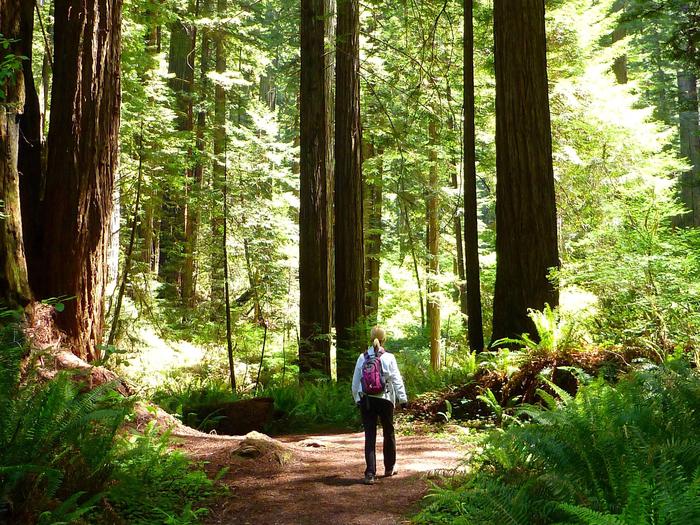
The Six Rivers National Forest offers nearly one million acres of forest for your enjoyment, relaxation, and exploration. The park is within a six-hour drive north of the Bay Area. You can experience the solitude of hiking in the wilderness on over 100 miles of trails, enjoy camping near others in developed campgrounds, or the solitude of camping in the backcountry. The 6 rivers national forest is also a prime location for plenty of world-class fishing, as well as home to one of most barrier-free fishing locations in the nation.

