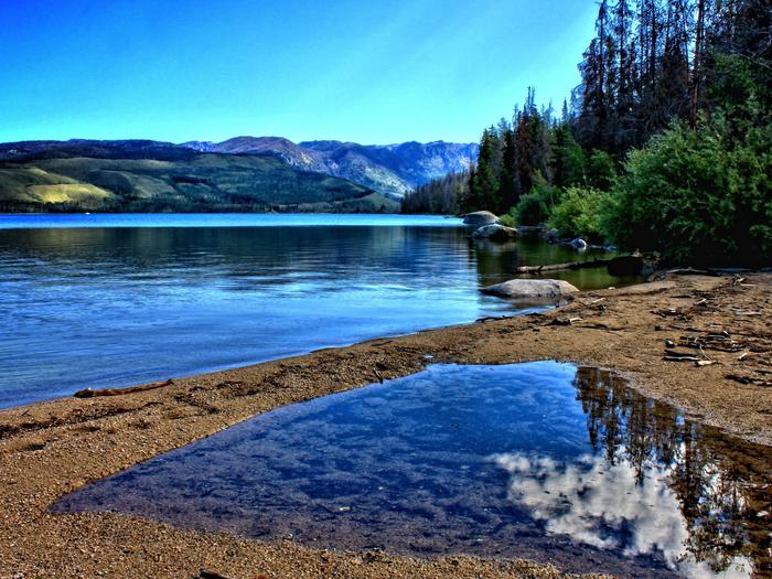
Prescott National Forest, Arizona Camping & Hiking

Prescott National Forest, Arizona Camping & Hiking

Prescott National Forest Image Gallery

Activities

BOATING, CAMPING, HIKING, HORSEBACK RIDING, PICNICKING, VISITOR CENTER, WILDLIFE VIEWING, FIRE LOOKOUTS/CABINS OVERNIGHT, HORSE CAMPING

Camping Reservations

Reserve your campsite at these camping areas:

Arizona Campgrounds

PLAYGROUND GROUP

THUMB BUTTE

TURNEY GULCH GROUP

UPPER WOLF CREEK GROUP

EAGLE RIDGE GROUP CAMPGROUND

SYCAMORE CABIN

HORSETHIEF CABIN

GROOM CREEK SCHOOLHOUSE

GROOM CREEK HORSE CAMP

LYNX CAMPGROUND

ALTO PIT OHV CAMPGROUND

YAVAPAI CAMPGROUND

WHITE SPAR CAMPGROUND

POTATO PATCH CAMPGROUND

HILLTOP CAMPGROUND

Hiking Trails

Looking for nice hiking areas to take a hike? Choose from these scenic hiking trails:

Arizona Hiking Trails

Sycamore Canyon Wilderness

Juniper Mesa Wilderness

Woodchute Wilderness

Chino Valley Ranger District

Verde Ranger District

Ranch (62) Trailhead

Grief Hill Day Use Area / Trailhead

Mingus Mountain Vista

Williamson Valley Trailhead

Dugas – Tule Mesa

Pine Mountain Wilderness

Clarkdale Area

Mingus Mountain

Granite Mountain via Williamson Valley Road

Thumb Butte

Crown King Area (Horsethief Basin)

Thumb Butte (Climbing)

Camp Wood Area

Perkinsville – Hickey Mountain

Cedar Bench Wilderness

Sheridan Mountain/Smith Mesa

Juniper Mountains

Prescott Valley, South

Iron Springs/Jerome Canyon

Copper Canyon Trailhead

Granite Mountain (Climbing)

Cherry Area

Wilhoit

Related Link(s)

More Arizona Recreation Areas

Prescott National Forest

Prescott National Forest: “Where the Desert Meets the Pines.”  Central Arizona’s mild climate makes the Prescott a year-round destination to camp, fish, picnic, hike, and ride! (MORE recreation opportunities and photos…)

Collage of people participating in a wide variety of recreational activities

More from CampingHiking.net:

Baker Dam, Utah Camping & Hiking

Directions From I-15 Exit 6 in St. George, Utah, head north on Bluff Street (which turns into State Route 18). Travel 24 miles and turn right onto the Baker Dam

Bennington Lake, Washington Camping & Hiking

Directions Immediately east of Walla Walla, Washington. From Highway 12 follow the sign directions pointing the way to Bennington Lake. Phone (509) 527-7160 Activities BOATING, PICNICKING, WATER SPORTS, WILDLIFE VIEWING,

Pearson Creek Trailhead

Bridger-Teton National Forest, Wyoming Camping & Hiking

Activities AUTO TOURING, BIKING, BOATING, CAMPING, FISHING, HIKING, HORSEBACK RIDING, HUNTING, OFF HIGHWAY VEHICLE, PICNICKING, WINTER SPORTS, VISITOR CENTER, WILDLIFE VIEWING, FIRE LOOKOUTS/CABINS OVERNIGHT, SWIMMING, HORSE CAMPING Camping Reservations Reserve