Directions
Highway 434, Mile Marker 17
Guadalupita, NM 87722
Make a reservation on the New Mexico State Parks reservation website.
Phone
575-387-2328
Camping Reservations
Reserve your campsite at these camping areas:
Hiking Trails
Looking for nice hiking areas to take a hike? Choose from these scenic hiking trails:
Related Link(s)
More New Mexico Recreation Areas
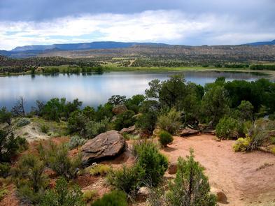
Coyote Creek State Park, just north of Mora, is nestled in the Sangre de Cristo Mountains along a meandering stream. Enclosed by a forest of spruce and pine, the small valley displays abundant wildflowers and beautiful fall foliage. Coyote Creek State Park is preserving a riparian canyon in the Sangre de Cristo Mountains.
Settlement began in 1837 when three residents of Taos received a community land grant from the Mexican government. In the early 1930s many of the parcels were consolidated into a ranch owned by Eusebio Romero. A ranch house and the remains of a moonshine shack from this era are still visible in the park.
The Rio Coyote is the river that runs through the Guadalupita/Coyote Historic District. The Rio Coyote is the lifeblood of the agricultural community within the Historic District; a network of irrigation ditches (acequias) carry water to the private tracts of land where the water flows into each field when landowners open their head gates. One of these historic acequias runs through the park at the Encino Campground.
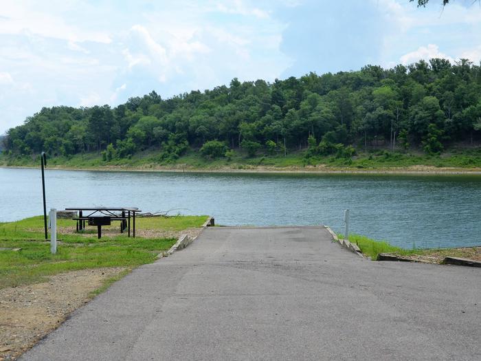
Coyote Creek offers a visitor center, camping, showers, group shelters, electrical hook ups, restrooms, dump stations, boating ramps, fishing, playground, trails and R.V. pull through sites. The park is ideal for fly fishing, camping, hiking and birding a 2-mile trail circles through the park, crossing the creek twice. There are several beaver dams and ponds in the park.
Make a reservation on the New Mexico State Parks reservation website.


