Gorge Lake Campground, WASHINGTON Campground Reservation, Info, Images, Map, Directions

Gorge Lake Campground, Washington Campground Images, Info & Reservations

Listen

Directions

Located just outside the community of Diablo, north of SR 20 at mile post 126. 20 miles (32 km) east of Marblemount, 67 miles (108 km) west of Winthrop.

Phone

360-854-7200

Activities

BOATING, FISHING, KAYAKING, CANOEING, WATER ACCESS

Keywords

Gorge,GLCG

Related Link(s)

Rec Area Info & Images

Overview

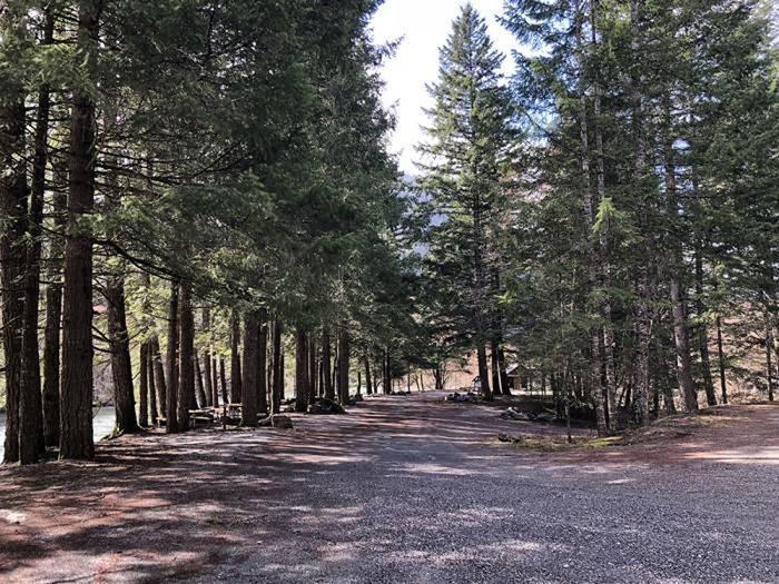
On the bank of Gorge Lake, next to the cascading Stetattle Creek. Elevation 900′. 8 sites. Located just outside the community of Diablo, north of SR 20 at mile post 126. 20 miles (32 km) east of Marblemount, 67 miles (108 km) west of Winthrop.

Recreation

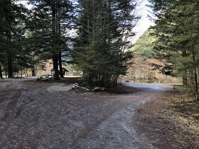
Boat launch on Gorge Lake. Hiking trails nearby. Fishing on Gorge Lake.

Facilities

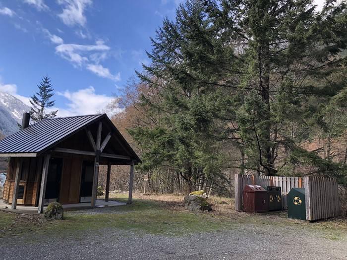
Primitive camp with no water or services. Bring water and pack out all trash. Vault toilets. Gathering firewood is prohibited. Firewood is available outside the park.

Nearby Attractions

Diablo Lake and Ross Lake overlooks are within a short driving distance from the facility. The Stetattle Creek and Sourdough Mountain trails start nearby. Campers who wish to learn more about the area can attend interpretive programs at the North Cascades Visitor Center in Newhalem during peak season, or participate in a variety of tours.

Reservation

More from CampingHiking.net:

HUNTER PEAK, Wyoming Campground Images, Info & Reservations

Listen Directions From Cody, Wyo., travel north on State Highway 120 to Highway 296. The campground is approximately 60 miles from Cody, and located on the left side of the highway. From the northeast entrance of Yellowstone Park or Red Lodge, Mont, travel on U.S. Highway 212 to the junction

BOCA CAMPGROUND, California Campground Images, Info & Reservations

Listen Directions 2019 Season Access Due to Boca Dam Closure – From Truckee, start up Highway 89 north and turn right onto Prosser Dam Road at the last roundabout. Go through neighborhood, keep right at Y and go over Prosser Dam. At next 4-way intersection, turn right onto Rd 73.

GIANT GAP, California Campground Images, Info & Reservations

Listen Directions From Interstate 80, take the Auburn/Ravine Road exit. Continue east for 17 miles to Foresthill. Travel through town, about 9 miles, to Forest Road 10/Sugar Pine Road. Turn left and drive 9 miles, crossing a boat ramp and the dam, to the Sugar Pine Campground. Turn right and

MCKEEVER CABIN, Michigan Campground Images, Info & Reservations

Listen Directions Mckeever Cabin does not have a physical address. Vehicle access from the North: Take M-28 to FH 13, which is 3 miles east of Munising. Proceed south on FH 13 for 11 miles to FR 2163, located across from the road from Widewaters Campground. Vehicle access from the

ADMIRALTY COVE CABIN, Alaska Campground Images, Info & Reservations

Listen Directions Access to Admiralty Cove Cabin is by floatplane or boat with anchor. Admiralty Cove is a small, open cove within Young Bay, on the north end of Admiralty Island. Upon arrival, look for a large pruned opening in the beach fringe visible from the water while approaching the

YEGUA CREEK, Texas Campground Images, Info & Reservations

Listen Directions From Austin, Texas, take US 290 east to Brenham. Follow HWY 36 north 11.5 miles to FM 1948. Turn left and follow FM 1948 2.5 miles. Turn right into park complex, following campground signs. From Houston, Texas, take HWY 290 west to Brenham. Follow HWY 36 north 11.5