
Directions
From Centennial, Wyoming, take State Highway 130 west for 3.7 miles to Sand Lake Road/Forest Road 101. Turn right and drive 2 miles to the campground.
Phone
307-745-2300
Activities
BIKING, CAMPING, FISHING, HIKING
Keywords
NOR1,MEDICINE BOW-ROUTT NF-FS
Related Link(s)
Overview
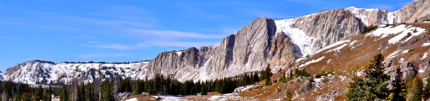
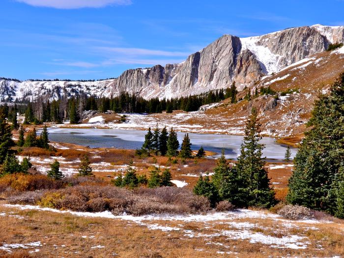
North Fork Campground lies along the banks of the North Fork of the Little Laramie River in the Medicine Bow National Forest. The facility is popular for RV camping, fishing, hiking and mountain biking.
Recreation
Mountain bikers and hikers have the ease of accessing the scenic, well-known North Fork Trail from the campground. Visitors who would like a more leisurely experience can drive the scenic Highway 130 or take in the view at the North Fork Overlook nearby.
Anglers can fish for trout in the clear mountain waters of the North Fork of the Little Laramie.
Facilities
A total of 60 campsites are divided into two sections. Most sites lie along the river banks. Vault toilets and a hand pump for drinking water are provided. A campground host is available for visitor assistance.
Natural Features
Located at an elevation of 8,600 feet, the campground sits in a thick forest of lodgepole pine and spruce. The sound of the Little Laramie River can be heard from most campsites.
The Medicine Bow-Routt National Forests and Thunder Basin National Grassland encompass nearly 3 million acres from central and northeastern Wyoming to north-central Colorado.
Black bear, bobcat, coyote, elk, mule deer and moose are just some of the many animals that inhabit these rich and diverse lands.
Nearby Attractions
Visitors can find many more outdoor opportunities in the surrounding national forests and grasslands, including hiking, biking, camping, horseback and off-road vehicle riding, fishing, hunting, sightseeing and winter sports.