
Directions
I-70 westbound, Idaho Springs exit #240 – Hwy 103. Go south for 6.5 miles and turn right on southwest Forest Service Road 188 (West Chicago Creek Road). Go 3 miles to campground. The last mile of dirt/gravel road is one lane with pull over’s and contains two sharp switchbacks.
Phone
801-226-3564
Activities
CAMPING, FISHING, HIKING
Keywords
WECC,ARAPAHO AND ROOSEVELT NF – FS
Related Link(s)
Colorado State Road Conditions
Overview
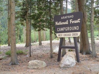
West Chicago Creek Campground sits along its namesake creek at the base of Mount Evans and is located off Highway 103 on the Arapaho and Roosevelt National Forests in central Colorado. It is a popular facility for hiking and fishing enthusiasts.
Recreation
The area provides easy access to many hiking trails that lead into the Mount Evans Wilderness. West Chicago Creek offers good fishing for rainbow, brown and brook trout.
Facilities
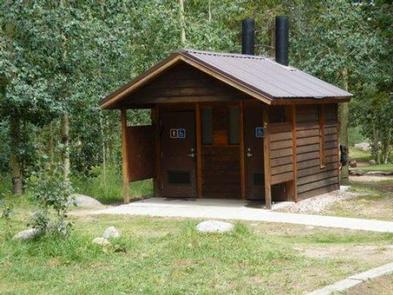
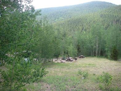
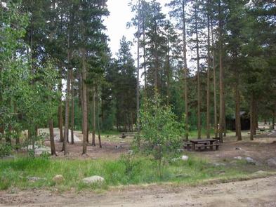
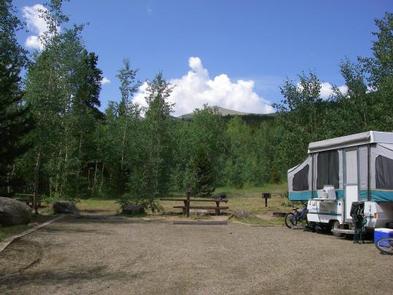
There are 15 sites available all suitable for RV and tent camping. Each site contains a tent pad, picnic table, charcoal grill and fire ring. Other amenities include a vault toilet, water spigot and trash dumpster. There are no RV hook-ups. Firewood is available for sale during peak season at the campground.
Natural Features
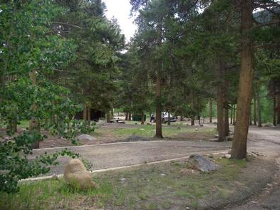
The campground sits at an elevation of 9,600 feet in an aspen and lodgepole pine forest.
The Arapaho and Roosevelt National Forests and Pawnee National Grassland are located in the foothills and slopes of the Rocky Mountains in Colorado. The forests and grassland cover 1.5 million acres and extend north to the Wyoming border, south to Mount Evans and west across the Continental Divide.
The area encompasses mountains, lakes and five scenic byways, designated by Congress for their scenery, wildlife or history, including the highest road in North America. Mount Evans Road, also known as Colorado Highway 5, allows visitors to drive from 10,500′ to 14,130′ above sea level in just 14 miles.
Nearby Attractions
Nearby Idaho Springs, a former mining town, makes for a nice outing. History buffs will appreciate the Argo Gold Mine and Mill Museum.