
Directions
From Manila, Utah: Take State Route 44 southeast for 7 miles. Turn northeast onto Forest Road 092, and continue to Sheep Creek Bay Boat Ramp. Once on the water, travel 2 miles southeast to reach the campground.
Phone
801-226-3564
Activities
BIKING, BOATING, CAMPING, FISHING, HIKING, SWIMMING SITE
Keywords
HIDE,HIDE OUT,HIDEOUT CANYON BOAT IN CG,FLAMING GORGE,ASHLEY NF – FS,Flaming Gorge National Recreation Area
Related Link(s)
Overview
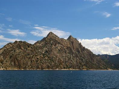
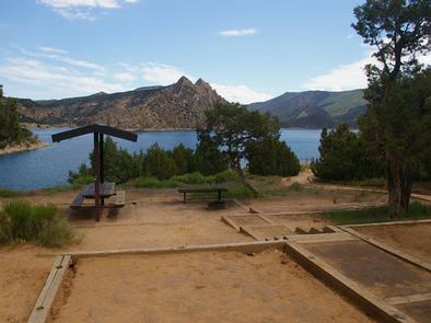
Hideout Canyon Boat-In Campground is located on beautiful Flaming Gorge Reservoir, 2 miles from the nearest road.
This popular campground, which gets its name from a hiding spot used by Butch Cassidy and his gang, is only accessible to visitors who boat or hike-in to the location.
Recreation
Boating, water skiing, canoeing, fishing and swimming are popular activities right out your front door. Most patrons boat to the campground, using the Sheep Creek Bay Boat Ramp.
Hikers should use the Hideout/Carter Creek Trailhead on Dowd Mountain off Forest Road 094.
Facilities
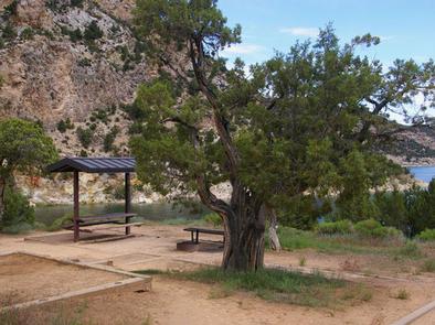
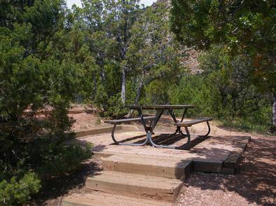
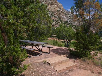
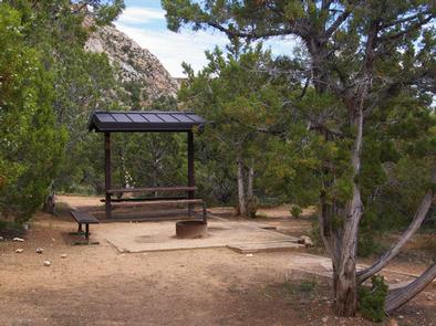
The campground contains 18 single-family sites. Each site has a cabana, picnic table and campfire ring. Flush toilets and water hydrants are provided. A vault toilet is available for off-season use.
The gravel trails from the docks to the campsites are steep and change each year depending on water fluctuations.
Lucerne Valley Marina is a few miles away by boat, where gas, boat slips, fishing licenses, bait and groceries are available at the small general store.
Natural Features
Hideout Canyon is surrounded by scenic cliffs at an elevation of 6,040 feet. The campground is forested with pinyon pine and juniper, which offer only limited shade. Most sites afford partial views of the reservoir.
Nearby Attractions
Flaming Gorge Dam offers guided tours of the working hydroelectric plant and the dam itself; The adjacent visitor center contains area history exhibits.
The Green River below the dam provides spectacular rafting opportunities. A trip down the river offers unique geology, outlaw history and Native American rock art.