
Directions
From Highway 12 in Escalante, turn north at 300 East at the elementary school at the Posey Lake/Hell’s Backbone sign. Travel 14 miles to junction of Forest Roads 153 and 154, keep left and travel 2 miles to Posey Lake Campground. Site access can be difficult; about 14 miles of the road is gravel with some steep sections.
Phone
435-826-5499
Activities
BOATING, CAMPING, FISHING, HIKING
Keywords
POSY,DIXIE NF – FS,POSY LAKE
Related Link(s)
Overview
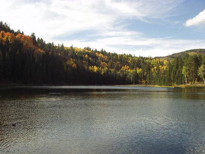
Posey Lake Campground is located next to its beautiful namesake lake high on the Colorado Plateau at an elevation of 8,800 feet. Visitors enjoy canoeing, fishing and exploring local trails.
Recreation
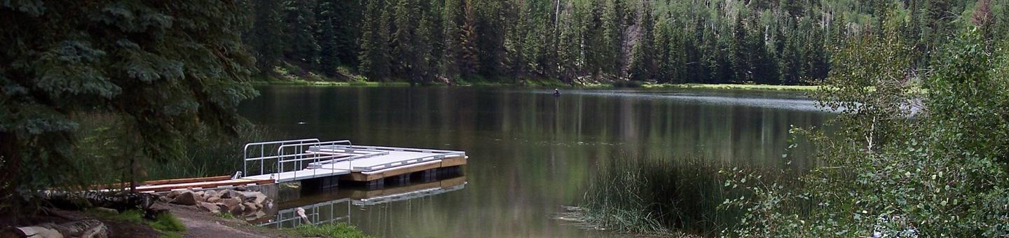
Posey Lake offers rainbow and brook trout fishing, canoeing, kayaking and non-motorized boating. Two hiking trails begin at the campground. The Posey Overlook Trail is a mile long and leads to a beautiful overlook. The Posey Spur Trail connects the campground to the Great Western Trail, which provides excellent hiking and mountain biking.
Facilities
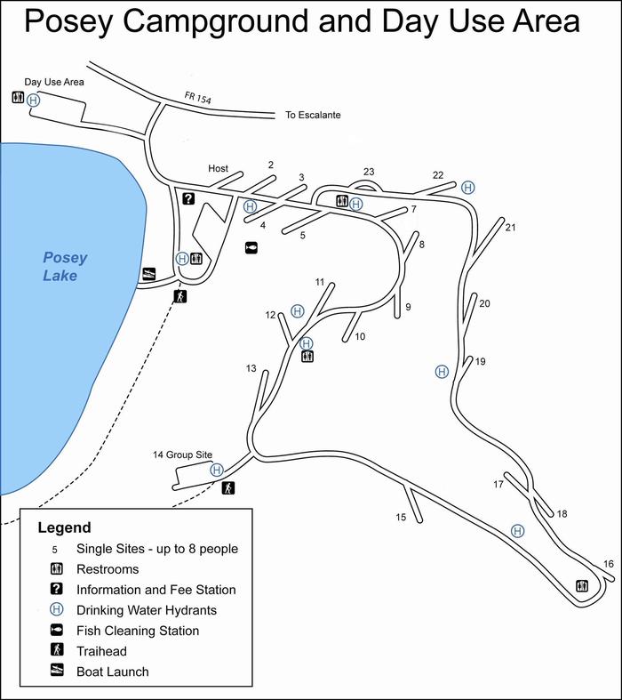
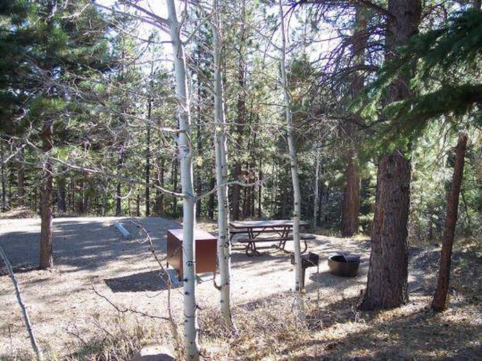
The campground contains 21 single-family sites and one group site for up to 35 people. Drinking water is provided from Memorial Day through Labor Day.
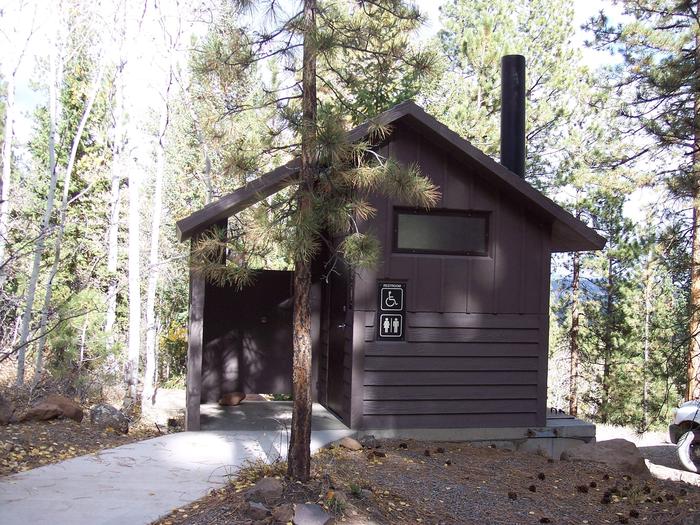
Facilities at this campground include accessible vault toilets, a fish cleaning station and two fishing docks. Roads and parking spurs are gravel.
Natural Features
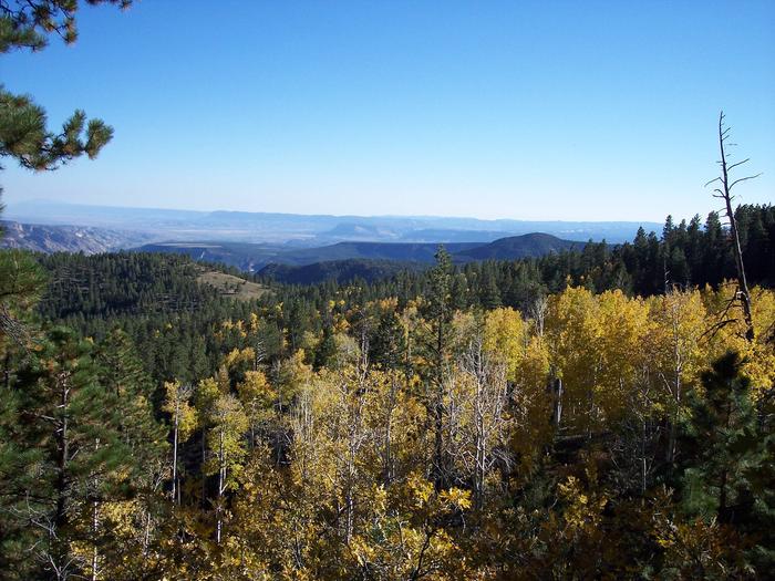
The campground is situated on a hillside above Posey Lake. A scenic forest of towering ponderosa pines covers the area. Clusters of aspens dot the landscape and summer wildflowers are abundant.
Nearby Attractions
Posey Lake offers a cool escape from the surrounding desert landscape and is often used as a base to explore the surrounding region. The Escalante area of southern Utah offers breathtaking scenery nearly everywhere you look.
Sightseeing along Forest Road 153 (Hell’s Backbone) and Utah Highway 12, a National All American Highway, is very popular. The Grand Staircase-Escalante National Monument, Anasazi State Park, and the Escalante Petrified Forest State Park are all located in the area.