
Directions
The campground is located 50 miles east of San Diego, California. Take I-8 to the Sunrise Highway (State Route S1) exit. Go approximately 15 miles north to Laguna/El Prado Campground, just beyond the 26 mile marker. Stop at the entrance station for information and site location.
Phone
619-445-6235
Activities
BIKING, HISTORIC & CULTURAL SITE, CAMPING, HIKING, HORSEBACK RIDING, WILDLIFE VIEWING, INFORMATION SITE, MOUNTAIN BIKING, BIRDING, CULTURAL ACTIVITIES, SCENIC DRIVE
Keywords
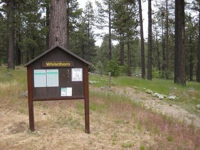
ELPR,CLEVELAND NF – FS
Related Link(s)
California State Road Conditions
Overview
El Prado Group Campground is a great mountain getaway just one hour east of San Diego, California in the Laguna Mountain Recreation Area. Campers can enjoy cooler temperatures, unique natural areas and an extensive trail system at this mountain facility from summer through early fall.
Recreation
The Laguna Mountain Recreation Area is known for great horseback riding, mountain biking, and hiking trails. Visitors can get their boots dusty on the Laguna Meadow Trail system or access a segment of the 2,650-mile Pacific Crest Trail, which runs from Mexico, through California and north to Canada. Within the campground is the El Prado Cabin which was built in 1911 and was the first Ranger’s cabin in the Cleveland National Forest. Step back in time and enjoy this historical feature in the campground. Families can learn about the area’s flora and fauna by attending educational programs at nearby Laguna Campground. A visitor center is a few miles down the road.
Facilities
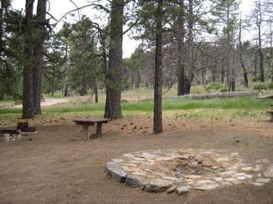
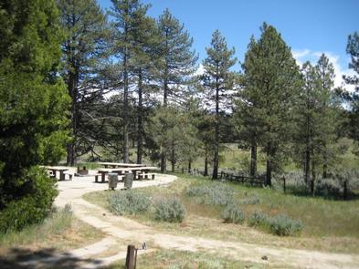
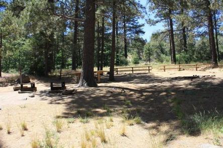
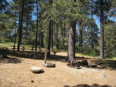
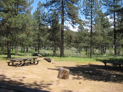
The campground is made up of five well-spaced individual group sites in a peaceful setting adjacent to Laguna Campground. One of the group sites, Yerba Santa, is accessible and includes four tent sites. Each site can accommodate a varying number of guests ranging between 30 to 50 people, and allows a 40-ft. maximum RV length. The facility provides drinking water, flush and vault toilets and a large parking area. Part of the campground is fenced off to protect the habitat of the endangered Laguna Skipper butterfly. Visitors are asked to respect the fence boundary and comply with the maximum site occupancy.
Natural Features
The campground sits at an elevation of 5,600 ft. in the Laguna Mountains. It is forested with pines and oaks that provide plenty of shade. The area is home to many species of birds, as well as the endangered Laguna Skipper butterfly.
Nearby Attractions
The Pacfic Crest National Scenic Trail, Noble Canyon National Recreation Trail, Mount Laguna Information Center