
Directions
From U.S. Highway 395 and State Highway 203 (Mammoth Lakes Junction), travel 8.2 miles north on 395. Turn west onto Deadman Road and follow for 3.2 miles to Upper Deadman Campground. Turn on the Group Campground turnoff on the right, across the road. Continue one mile to the campground on the right.
Phone
760-647-3045
Activities
CAMPING, HIKING, WILDLIFE VIEWING, OFF HIGHWAY VEHICLE TRAILS
Keywords
OBSI,INYO NF – FS
Related Link(s)
California State Road Conditions
Overview
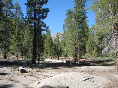
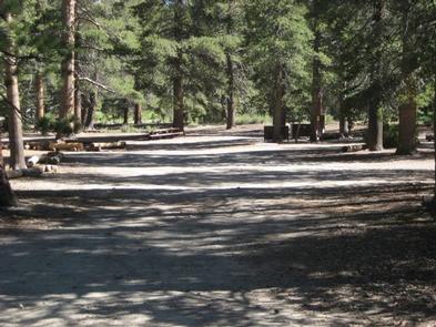
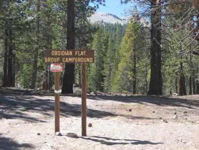
Obsidian Flat Group Campground, located just outside of Mammoth Lakes, California, provides an opportunity for a group to enjoy a secluded getaway in the eastern Sierra Nevada Mountains. With a peaceful forested setting and mountain views, the campground’s location is perfect for relaxing and spending time in nature.
The area is popular for exploring the surrounding forest and geology, as well as nearby hiking, bicycling, fishing and off-road vehicle riding options.
Recreation
The eastern Sierras are known for their exceptional trout fishing. Campers can try their luck in Deadman Creek.
The majestic scenery and challenging trails are an obvious draw for hikers, mountain bikers and off-road vehicle enthusiasts. Deadman Creek Trail leads hikers into the spectacular Ansel Adams Wilderness.
Facilities
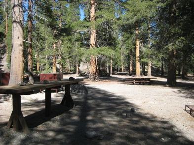
One group camping area can accommodate one group of up to 50 people, and up to five RVs (up to 40 feet in length) or 15 vehicles at a time. The site is fairly primitive and is equipped with a picnic table, vault toilet, campfire ring and bear-proof locker for food storage.
Natural Features
The campground is named after an obsidian lava flow nearby. It is situated in a pine forest at an elevation of 7,800 feet. Deadman Creek is adjacent to the facility, and several lakes are down the road.
Many species of wildlife call the mountains home, such as black bear, mountain lions, mule deer, pine marten, pika and numerous fish and birds.
Nearby Attractions
Hikers can access the scenic Ansel Adams Wilderness via nearby trails, and Yosemite National Park is a great day trip.