

Directions
To Access from Pacific City, OR: From Highway 101 take Brooten Road into Pacific City. Turn left onto Pacific Ave at four way stop. Drive over the bridge and turn right onto Cape Kiwanda Dr (2.3 miles). Veer left when it changes to Sandlake Road and stay on Sandlake Road for 5.2 miles. Turn left on Galloway Road and follow to the end (approximately 1 ½ miles). To Access from Tillamook, OR: Located south of Tillamook, OR on Highway 101, 11 miles to County Road 871 (Sandlake Road). Turn right on County Road 871 (Sandlake Road) and travel 4 miles to stop sign. Turn left on County Road 871 (Sandlake Road), travel for 1 mile and turn right on Galloway Road. Site is at the end of Galloway Road (2.2 miles) in the Sandlake Recreation Area.
Phone
(503)392-5100
Activities
FISHING, HIKING, WILDLIFE VIEWING, SWIMMING, OFF ROAD VEHICLE TRAILS
Keywords
SAND,SANDLAKE PARK,SAND BEACH,SANDY BEACH,SIUSLAW NF – FS
Related Link(s)
Overview
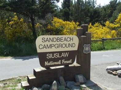
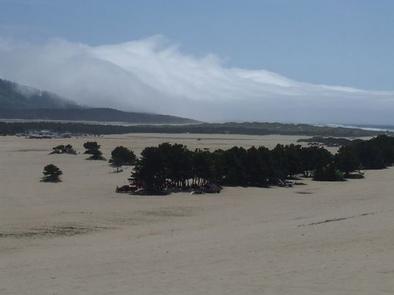
Sandbeach Campground is ideal for off-road vehicle lovers with year-round access to nearly 1,100 acres of coastal sand dunes. The campground is part of the Sand Lake Recreation Area and home to the dune playground. The area is located along Oregon’s North Coast, 15 miles southwest of Tillamook between Cape Lookout and Cape Kiwanda.
Recreation
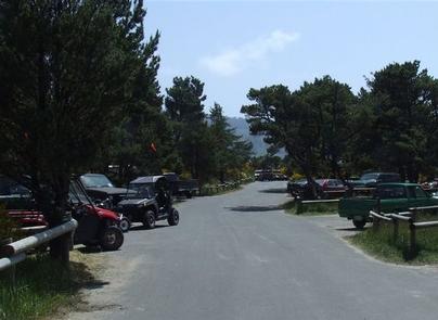
Off-road vehicle riding is the primary attraction for campers.
The nearby Sand Lake Estuary offers fishing, swimming, crabbing, kayaking, hiking and wildlife viewing. The near-natural state of the 900-acre estuary provides a home to many species of waterfowl.
Facilities
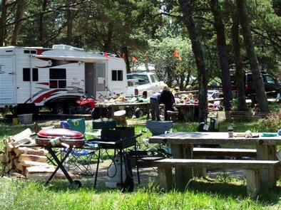
Parking aprons are paved. Campground perks include drinking water, flush toilets, campfire rings and an off-road vehicle loading ramp. There are 81 total sites, sites 1-21 and 23-62 are reservable, all others are available on a first-come first-serve basis. Two adjacent campgrounds, East Dunes and West Winds, offer an additional 78 campsites (non-reservable).
Natural Features
The climate has strong marine influences with cool summers and moderate winters.
The Sand Lake Area includes 1,076 acres of open sand dunes, surrounded by forests, adjacent to the Pacific Ocean.