
Directions
From Placerville take Hwy 49 N for 1/2 mile, turn right on Hwy 193 to Georgetown. Take a right on main street in Georgetown and proceed 15 miles to the campground.
From Auburn, Take Hwy 49 S to Cool, turn left on Hwy 193 to Georgetown, turn left on main street in Georgetown and proceed 15 miles to the campground.
Phone
831-245-6891
Activities
BOATING, CAMPING, FISHING, HIKING
Keywords
STUM,ELDORADO NF – FS
Related Link(s)
California State Road Conditions
Overview
Stumpy Meadows, on the Stumpy Meadows Reservoir, provides an enjoyable setting in a heavy conifer forest with easy access to an array of water activities.
Campers come here to while away warm summer days on the lake and enjoy the sights and sounds of the great outdoors. The campground provides easy access to both hiking and biking trails.
The historic town of Georgetown is 15 miles away. In the 19th century, the town was a hub of the productive gold mining region, and residents proclaimed the town the "pride of the mountains."
Recreation
The crystal clear reservoir is stocked with both Rainbow and German Brown Trout, providing excellent fishing during the season. The lake is a grand place for a swim. Kayaking and canoeing are much enjoyed activities on the lake’s clear waters. Slow-paced motor boating is allowed, but is restricted to a 5 m.p.h. speed limit.
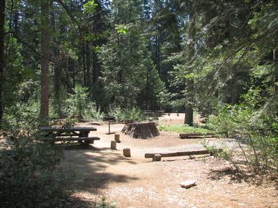
Facilities
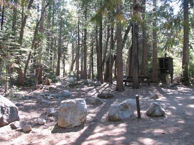
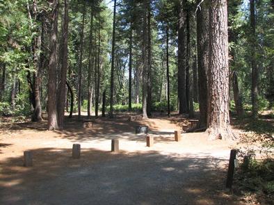
Campsites are well spaced and offer ample privacy from neighboring sites. The reservoir is within a short walk, but no campsites have views of the water.
Vault toilets and drinking water from spigots are provided. A boat ramp is located a mile from the campground.
Natural Features
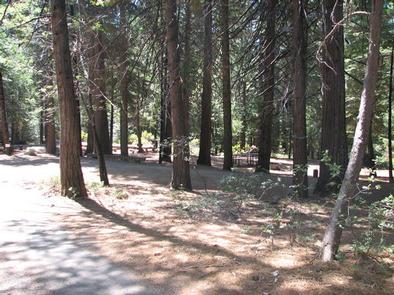
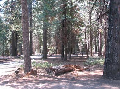
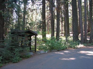
All sites are shaded by groves of towering Ponderosa pine, fir, oak, and cedar trees. The campground is in Eldorado National forest, which boasts over 400 miles of hiking trails, an abundance of lakes and rivers for fishing and swimming, and incredible scenery. Here, the climate is similar to that of the Mediterranean with warm, dry summers and cold, wet winters.
Nearby Attractions
Take a drive on the El Dorado County Scenic Highway or visit the Marshall Gold Discovery State Historic Park.