

Directions
Located 50 miles east of San Diego, California. From I-8 take the Sunrise exit. Go approximately 11 miles to Milepost 23. Stop at entrance for campground information and site location.
Phone
619-473-0120
Activities
CAMPING, INTERPRETIVE PROGRAMS, VISITOR CENTER, DAY USE AREA
Keywords
BURN,CLEVELAND NF – FS
Related Link(s)
California State Road Conditions
Overview
Burnt Rancheria Campground is located 50 miles east of San Diego at the Laguna Mountain Recreation Area in Southern California, right off the Sunrise Scenic Byway.
Campers can enjoy hiking, viewing unique birds and wildlife and enjoying cooler temperatures at this mountain facility in Cleveland National Forest, open from mid-April through October.
Recreation
Day hiking and picnicking are most popular at Burnt Rancheria. The facility provides easy access to a segment of the Pacific Crest Trail, a 2,650-mile national scenic trail that runs from Mexico to Canada. Hiking and horseback riding are allowed on the trail. Biking is not allowed on any portion of the Pacific Crest Trail.
A short hike to the nearby Desert View Picnic Site provides visitors with a bird’s-eye view of the desert 6,000 feet below. On most days, the Salton Sea is clearly visible to the southeast. Restrooms and potable water are available.
Families with children will enjoy activities, campfire programs and guided hikes available during summer. In addition to the guided hikes, a visitor might take the self-guided interpretive trail hike; brochures are available from the camp host.
Campers can also get a glimpse of the amazing night sky at "star parties" organized by the San Diego State University Observatory. These gatherings are conducted on most Saturday evenings during the summer months (schedule can be obtained at the Visitor Information Center on Laguna Mountain or by calling 619-473-8547).
Facilities
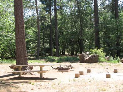
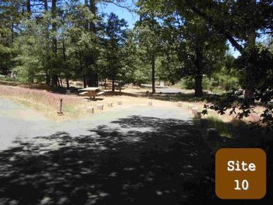
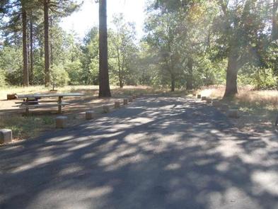
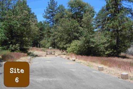
Burnt Rancheria is a large campground with several loops of campsites. Each site has a table and campfire ring. There are no hookups or dump station for RVs; the nearest is located at the Buckman Springs Rest Area, 4 miles east of Pine Valley on I-8.
The campground is equipped with restrooms and coin-operated showers (showers open only during reservation season). Firewood is available for purchase from the campground host.
Natural Features
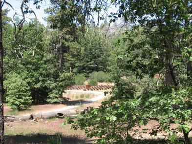
Pines and oaks abound throughout the campground, which sits at an elevation of 6,000 ft. The site is heavily wooded and surrounded by an open oak grove with spectacular desert views.