
Directions
From St. Louis, Missouri, take I-44 west to Cuba. Continue on Highway 19 south to Cherryville. Take 49 south to Highway V, turn left to Davisville and travel approximately 1 mile and turn left into the campground.
Phone
573-743-6042
Activities
CAMPING, FISHING, WATER SPORTS
Keywords
REDB,MARK TWAIN NF -FS
Related Link(s)
Missouri State Road Conditions
Overview
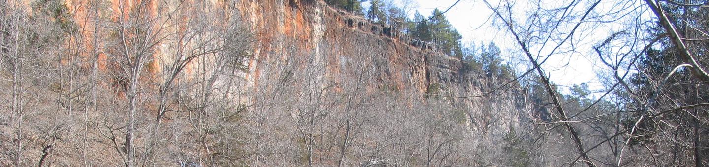
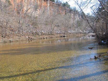
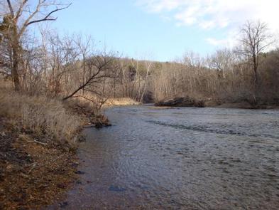
Red Bluff Campground is named for towering red bluffs along Huzzah Creek, carved by the elements over the past 10,000 years. The area used to be home to timber mills, but now provides a serene spot for camping and enjoying nature.
Recreation
Most sites are within 100 yards of Huzzah Creek, where tubing and swimming are enjoyed by visitors. The water can be swift-moving at times and rocks and drop-offs are not marked. Fishing is also popular in the area and anglers can expect to find bass, perch and catfish.
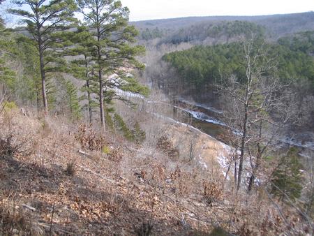
The Red Bluff Trail lies within the boundaries of the campground. It is a 1.2-mile loop that winds through a pine plantation and big oak timber, into an adjoining hollow before returning to the campground. The short trail provides an opportunity for visitors to enjoy a variety of ecological communities, while reaping the benefits of a half-hour of hiking.
Facilities
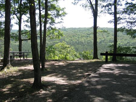
The campground offers several large sites available for tent and RV camping. Individual picnic sites are available as well, some of which have shelters. An accessible group picnic shelter can also be reserved and can accommodate up to 75 people. Additional sites are available on a first-come, first-served basis.
Each site is equipped with a table and campfire ring with grill. Vault toilets and drinking water are provided. The roads within the campground are paved.
Natural Features
Large, red bluffs on the opposite side of Huzzah Creek, gravel bars along the creek, a mixture of pools and riffles and natural vegetation provide a backdrop for a very relaxing camping experience at the campground. Red Bluff is located in the Potosi-Fredericktown Ranger District of the Mark Twain National Forest.
Nearby Attractions
This campground is located in southeastern Missouri, approximately one mile from the town of Davisville.