
Directions
From Bishop or Mammoth Lakes, California, follow U.S. Highway 395 (about 30 miles north of Bishop). Take the Tom’s Place exit and go 1 mile on Rock Creek Road.
Phone
760-935-4825
Activities
CAMPING, FISHING, HIKING, HUNTING, PICNICKING, WILDLIFE VIEWING
Keywords
FREN,INYO NF – FS
Related Link(s)
California State Road Conditions
Overview
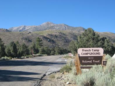
French Camp lies in the Rock Creek area of the scenic Sierra Nevada Mountains, near Tom’s Place and midway between Bishop and Mammoth Lakes, California. Its ideal location makes this campground a good stop for travelers on U.S. Highway 395 to rest overnight.
Hiking opportunities are vast, and the creekside campground is convenient for fishing. The facility is large and inviting, with forest and mountain views and several amenities.
Opening and closing dates for the season are dependent on weather.
Recreation
Rock Creek and other waterways in the eastern Sierra Nevada Mountains are known for their exceptional trout fishing. A catch from the creek may includ brook, brown, rainbow and stocked Alpers trout.
The area’s majestic scenery and challenging trails are an obvious draw for hikers and mountain bikers.
Because of the region’s interesting geology, rockhounding is also popular.
Facilities
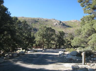
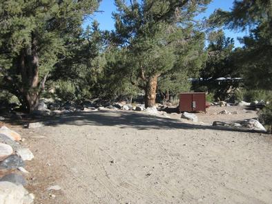
French Camp is a large facility with a variety of settings for tents and small to medium RVs (no hookups available). A few campsites can accommodate medium to large RVs and trailers.
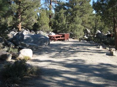
Sites are organized in one large loop, with some along the banks of the creek. Each has a picnic table and campfire ring.
Firewood is available on-site for purchase, and nearby Tom’s Place offers additional supplies and fee showers.
Natural Features
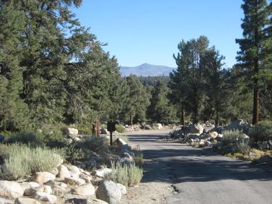
Campers will experience the beauty of pines and fragrant junipers that have come to represent Inyo National Forest. The campground sits among aspens, pinyon and ponderosa and Jeffrey pines at an elevation of 7,500 ft.
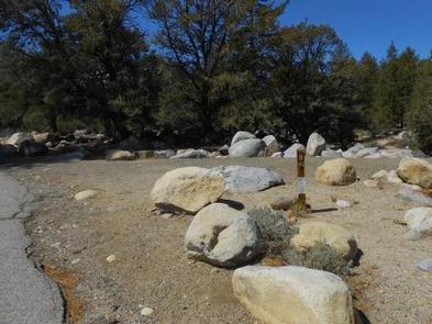
The clear, cold and cascading Rock Creek, which originates in the John Muir Wilderness, runs alongside it. Brushy landscape and ample boulders in the area are fun to explore and traverse.
The area is home to abundant wildlife, including black bear, mountain lions, mule deer, pine marten, pika and many species of fish and birds.
Nearby Attractions
For campers interested in local events, Mule Days are held in nearby Bishop over Memorial Day weekend, and the Mammoth Jazz Jubilee is hosted in Mammoth in mid-July.