
Directions
From Bishop or Mammoth Lakes, California, follow U.S. Highway 395 (about 30 miles north of Bishop). Take the Tom’s Place exit and go 6 miles on Rock Creek Road.
Phone
760-935-4825
Activities
CAMPING, FISHING, HIKING, HORSEBACK RIDING, PICNICKING, WILDLIFE VIEWING
Keywords
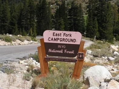
EASF,INYO NF – FS
Related Link(s)
California State Road Conditions
Overview
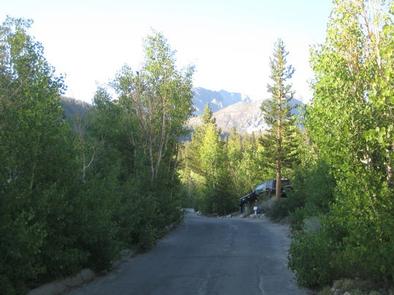
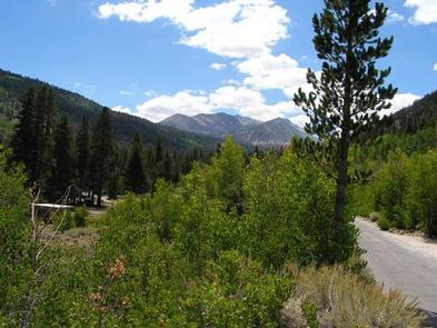
East Fork Canyon is in a beautiful wooded section of Rock Creek Canyon, near Lower Rock Creek. Anglers, hikers and photographers enjoy this scenic location in the eastern Sierra Nevada Mountains of California.
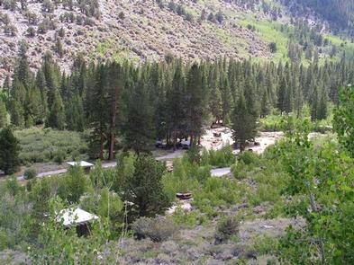
The facility is large and accommodating, with several loops of campsites.Opening and closing dates for the season are dependent on weather.
Recreation
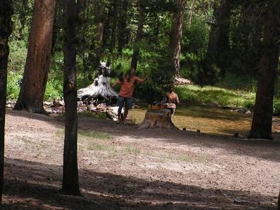
Rock Creek and other waterways in the eastern Sierra Nevada Mountains are known for their exceptional trout fishing. A catch from the creek may include brook, brown, rainbow and stocked Alpers trout, while anglers in the backcountry are treated to populations of golden trout.
The area’s majestic scenery and challenging trails are an obvious draw for hikers and mountain bikers. There are several trails in and around Rock Creek Canyon, some of which meander around high-elevation alpine lakes.
Facilities
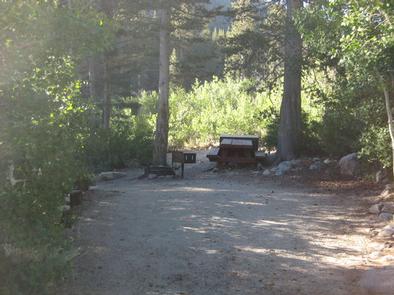
The campground has four loops. Some campsites are close together, and some sit along the banks of the creek. There is a mix of sun and shade.
Firewood is available for purchase on-site.
Bears inhabit the area; bear-proof lockers for food storage are located throughout the campground.
Natural Features
This beautifully wooded area is dense with pine and fir trees, with aspens that turn golden and shimmer in the fall. Sitting at an elevation of 8,900 ft., East Fork offers views of the taller mountain peaks that surround it.
The campground is adjacent to the clear, cold and cascading Rock Creek, which originates in the John Muir Wilderness and runs for 22 miles through the bottom of Rock Creek Canyon.
The area is home to abundant wildlife, including black bear, mountain lions, mule deer, pine marten, pika and many species of fish and birds.
Nearby Attractions
For campers interested in local events, Mule Days are held in nearby Bishop over Memorial Day weekend, and the Mammoth Jazz Jubilee is hosted in Mammoth in mid-July.