GOOSEBERRY GROUP, UT Campground Reservation, Info, Images, Map, Directions

GOOSEBERRY GROUP, Utah Campground Images, Info & Reservations

Listen

Directions

From Fairview, Utah, travel north about a mile on Highway 89, to the junction with Highway 31. Travel east on Highway 31 for about nine miles, to the junction with Forest Development Road 124. Go north on Forest Development Road 124 for one mile to the campground.

Phone

(435)283-4151

Activities

BIKING, BOATING, CAMPING, FISHING, HIKING

Keywords

GOOS,MANTI-LASAL NF -FS

Related Link(s)

Rec Area Info & Images

Utah State Tourism

Utah State Road Conditions

Overview

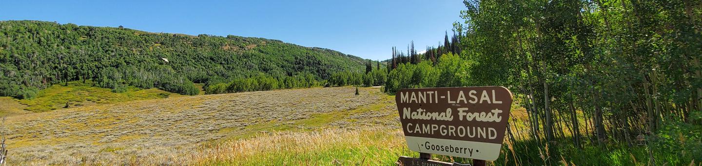
Gooseberry Group Campground is located on an aspen-covered hillside above Gooseberry Reservoir, at an elevation of 8,500 feet. Visitors enjoy fishing and canoeing on the small reservoir and exploring area trails.

Recreation

Gooseberry Reservoir, which is visible from several sites, offers good cutthroat and rainbow trout fishing, as well as canoeing. The Great Western Trail runs near the campground, offering excellent opportunities for hiking, biking and off-road vehicle riding.

Facilities

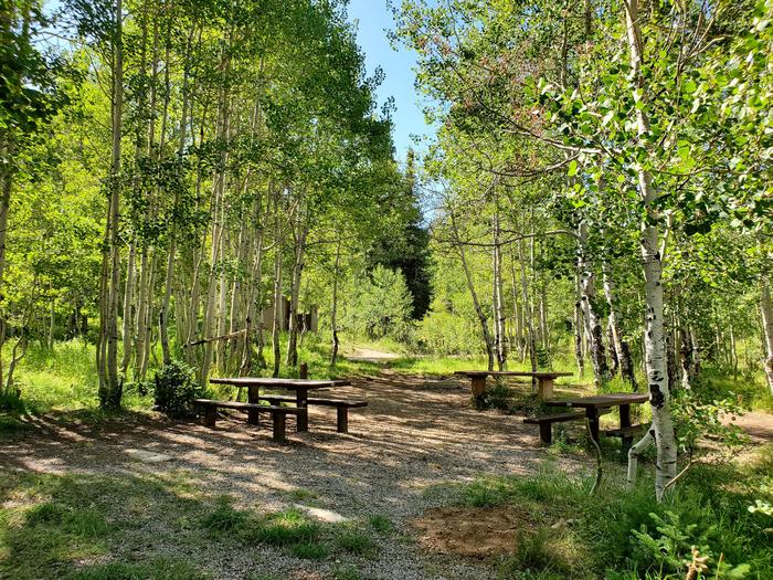
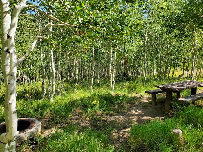
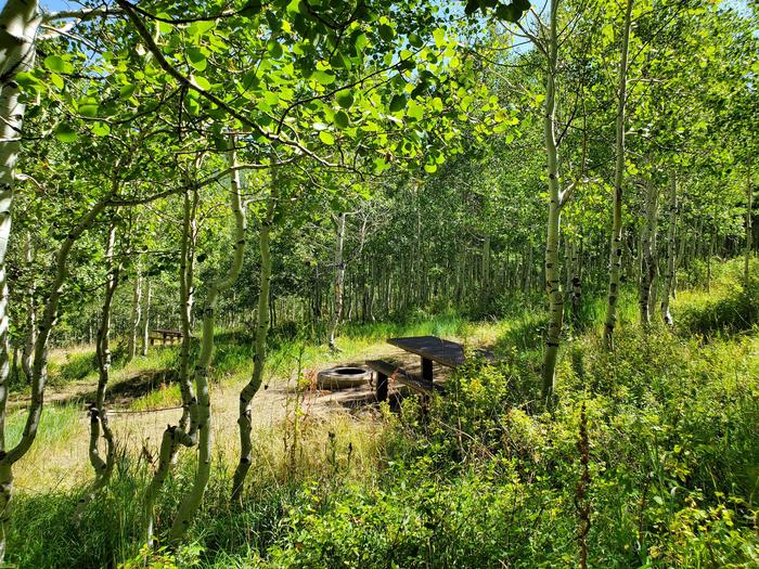
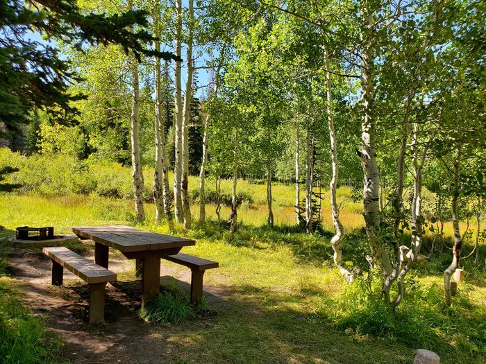
The campground offers group campsites equipped with picnic tables and fire rings. Vault toilets and drinking water are provided. Garbage collection facilities are not available, requiring visitors to pack out all trash.

A well-maintained dirt road leads to the campground, providing relatively easy access for cars and RVs alike.

Natural Features

The campground lies within a grove of aspens that is dotted with mature fir trees, in a valley high on the Wasatch Plateau. Some campsites are sunny with little tree cover, while some have ample shade. Sagebrush, grasses and summer wildflowers fill the scenic valley.

Nearby Attractions

Reservation

More from CampingHiking.net:

Diamond Creek Guard Station, Idaho Campground Images, Info & Reservations

Listen Directions From Soda Springs, take Highway 34 north approximately 12 miles to the China Hat turnoff (Blackfoot River Narrows). This road will follow Blackfoot River for another 11 miles to a junction; there is a Forest Service sign at this point. Take the right fork (Caribou National Forest Road

STATION CREEK CAMPGROUND, Wyoming Campground Images, Info & Reservations

Listen Directions From Jackson, travel south on Highway 191/89/26 for about 13 miles, to Hoback Junction. Turn right onto Highway 26/89 and continue along the Snake River Canyon for 14 miles. The campground is on the north side of the road. Phone 541-351-1182 Activities BOATING, CAMPING, FISHING, HIKING, WATER SPORTS

MAMMOTH CABIN, Utah Campground Images, Info & Reservations

Listen Directions From Fairview, Utah, for 8.5 miles proceed east on Utah Highway 31. Then turn east (left) to Utah highway 264 for .2 miles, then turn left (north) through the paved parking lot to the gravel road, then right (FS road 0124 downhill). You will pass the Gooseberry Campground

JOHN C. BRISCOE GROUP USE, Missouri Campground Images, Info & Reservations

Listen Directions From Hannibal, MO, travel west on highway 36 for 17 miles, then continue south on Route J and head south 10 miles. From Perry, travel north on Rt. J for 9 miles. Phone 573-735-4097 Activities CAMPING Keywords MWBG,BOUDREAUX GROUP CAMP AREA,MARK TWAIN LAKE,MW Boudreaux Group Camp,Briscoe Group Camp,Boudreaux