
Directions
From New Waverly, Texas, go 22 miles east on Highway 150 to FM 2025. Turn and drive south 0.25 miles to the campground.
Phone
936-653-3448
Activities
BIKING, BOATING, CAMPING, INTERPRETIVE PROGRAMS, FISHING, HIKING, SWIMMING SITE, OTHER RECREATION CONCESSION SITE
Keywords
DOUL,NFs IN TEXAS -FS
Related Link(s)
Overview
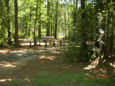
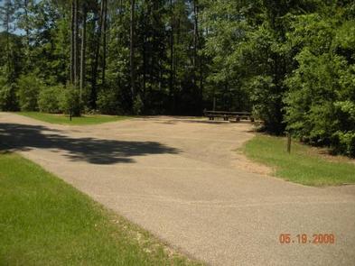
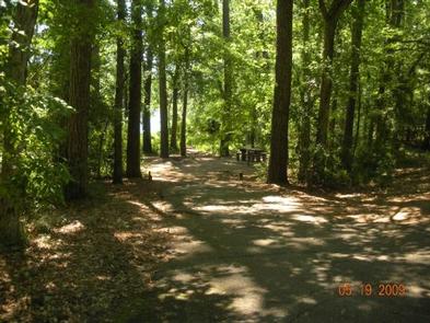
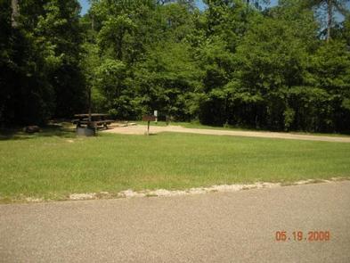
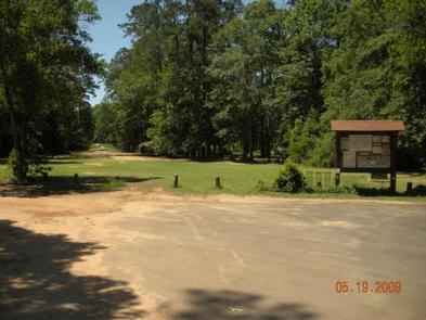
Double Lake Recreation Area was built in 1937 by the Civilian Conservation Corps and offers a little of everything, including camping, fishing, swimming, picnicking, hiking and simply relaxing in nature. A variety of tent, RV and group campsites are available.
Recreation
Double Lake is stocked with bass, bream and catfish. There are three fishing piers and a limited access boat ramp with parking nearby for trailers. Only boats with small electric motors are allowed. Boat and canoe rentals are available seasonally.
A 5-mile hiking trail leads to Big Creek Scenic Area, and there is access to part of the 128-mile Lone Star Hiking Trail. A 20-mile mountain bike trail meanders around the lake.
Swimmers can relax on a sandy beach after taking a cool plunge.
Learn more about recreation in the national forest.
Facilities
Double Lake Recreation Area facilities includes family camping units, group camping, picnicking units, a picnic shelter, beach with swimming area and a concession stand with bathhouse.
Natural Features
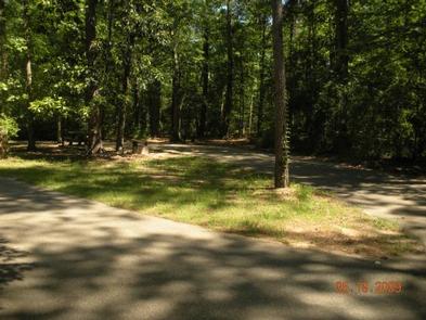
The area has rolling hills forested with hardwood and pines. The campground is surrounded by the 23-acre Double Lake.
Temperatures are moderate to cool from September through May, and hot and humid from June to August. Winters are cool and wet.