

Directions
From Washington, D.C. metro area, travel west on Interstate 66 to exit 43A. Take US Highway 29 South to Warrenton, Virginia, then take US Highway 211 west for 28 miles to Shenandoah National Park and Skyline Drive Thornton Gap Entrance. Follow Skyline Drive north approximately 9 miles and turn left into Mathews Arm Campground.
From Richmond, Virginia area, travel north toward Fredericksburg on Interstate 95 approximately 55 miles to exit 130B for Highway 3 and Culpeper, Virginia. Take Highway 3 approximately 33 miles west to US Highway 15/522 north. Continue on 522 North approximately 20 miles to Sperryville. Turn left onto US Highway 211 West and follow 8 miles to Shenandoah National Park and Skyline Drive, Thornton Gap Entrance. Follow Skyline Drive North approximately 9 miles and turn left into Mathews Arm Campground.
Phone
540-999-3132
Activities
CAMPING, HIKING, VISITOR CENTER, WILDLIFE VIEWING, DAY USE AREA
Keywords
Shenandoah National Park,Shenandoah,Matthews Arm,Mathew’s Arm,Matthew’s Arm
Related Link(s)
Virginia State Road Conditions
Overview
Secluded in the thick trees and rolling hills of the Shenandoah National Park, Mathews Arm Campground is the ideal spot for a camping getaway.
Recreation
Shenandoah National Park has over 500 miles of trails, including 101 miles of the Appalachian Trail. Some trails lead to a waterfall or viewpoint while others wind deep into the forests and wilderness.
Mathews Arm Campground is located near Overall Run Falls, which, at 93 feet, has the highest drop of all the falls in Shenandoah National Park. A moderately difficult hiking trail, which leads to the falls, is accessible from the campground. Once at the falls, visitors can enjoy views of the entire Shenandoah Valley and Massanutten Mountain.
Wildlife viewing is a also a popular pastime, with black bears, wild turkey, deer, birds and countless other animals abundant across the park.
The campground is located right off of Milepost 22 on the famous Skyline Drive, which runs 105 miles north and south along the crest of the Blue Ridge Mountains. Stunning views are available from any of the 75 scenic overlooks.
Facilities
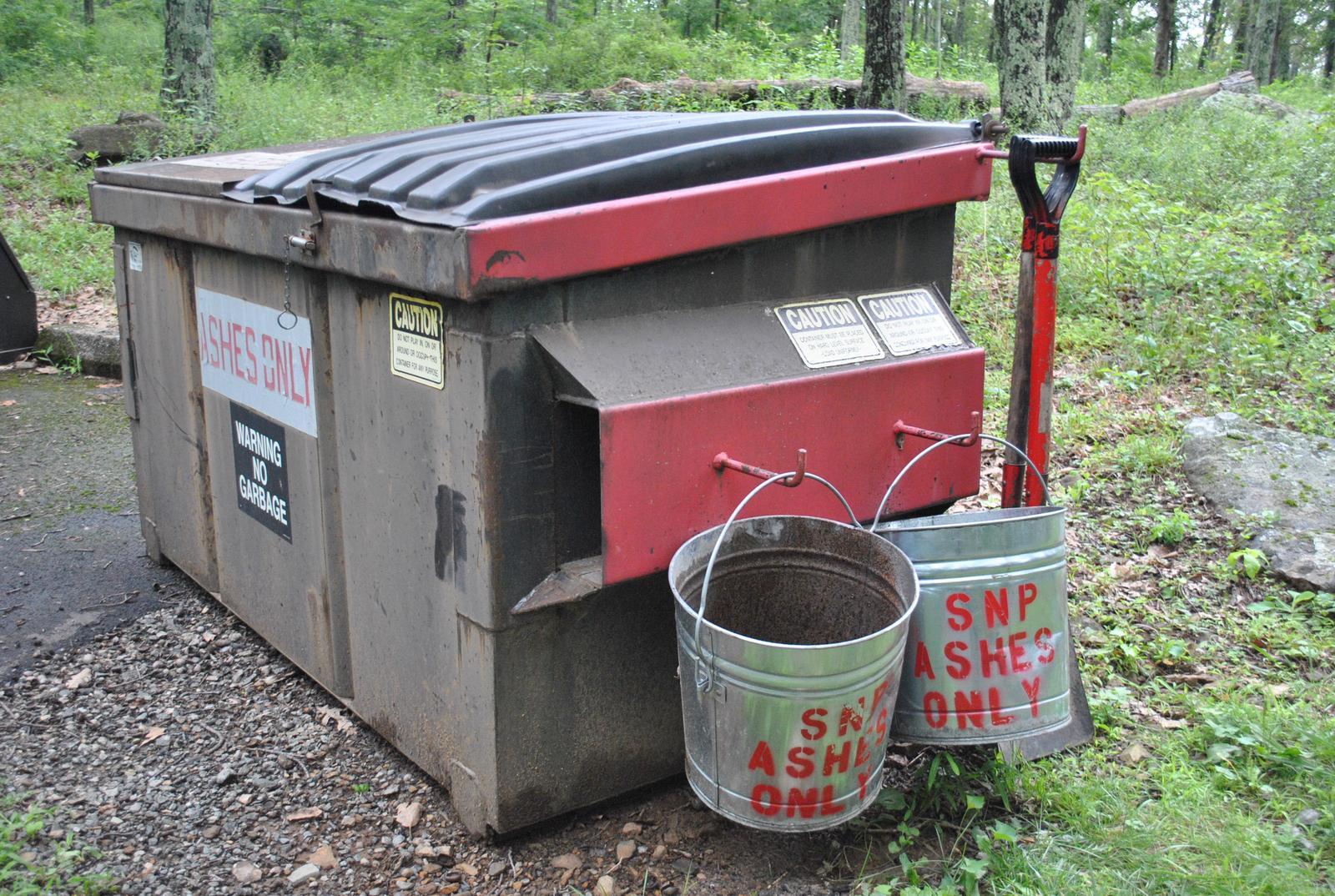
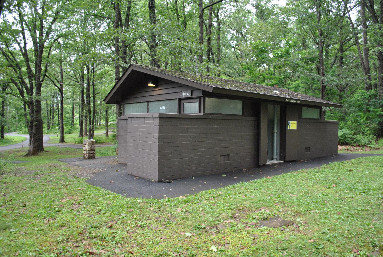
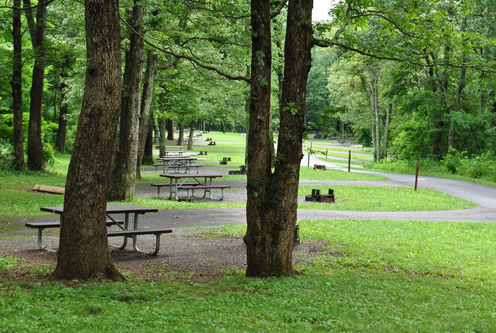
Mathews Arm is a family-oriented campground, offering plenty of open spaces in the nearly 166 available campsites. All sites include a place for a tent or RV, a fire ring and picnic area. The campground also offers modern amenities like flush toilets, drinking water and one dump station, creating a comfortable camping experience. There are no showers in this campground.
Natural Features
Shenandoah National Park includes 300 square miles of the Blue Ridge Mountains in the southern Appalachians. The park rises above the Virginia Piedmont to its east and the Shenandoah Valley to its west.
Nearby Attractions
Elkwallow Wayside is located just two miles away, offering camping supplies, a limited menu restaurant, prepared sandwiches, beverages, souvenirs, and more. Two visitor centers, bookstores, restaurants and exhibits are scattered throughout the Shenandoah National Park. Click here for more information.
Charges & Cancellations
Cancellations more than 48 hours in advance of arrival date only incur a $10 transaction fee. Within 48 hours, $10 and the first night’s fee are charged.