

Directions
From Washington, D.C., metro area, travel west on Interstate 66 to exit 43A. Take US Highway 29 south approximately 55 miles to Ruckersville, Virginia, then take US Highway 33 west to Shenandoah National Park and Skyline Drive Swift Run Entrance. Follow Skyline Drive south approximately 15 miles and turn left into the Loft Mountain area. Follow the signs to Loft Mountain Campground.
From Richmond, Virginia, area, travel west on Interstate 64 to exit 99 for Shenandoah National Park and Skyline Drive. Take Skyline Drive north approximately 25 miles and turn right into the Loft Mountain area. Follow the signs to Loft Mountain Campground.
Phone
434-823-4675
Activities
CAMPING, HIKING, WILDLIFE VIEWING, DAY USE AREA
Keywords
Big Flat Mountain,Lost Mountain,Shenandoah National Park,Shenandoah,Loft Mtn,Loft Mt
Related Link(s)
Virginia State Road Conditions
Overview
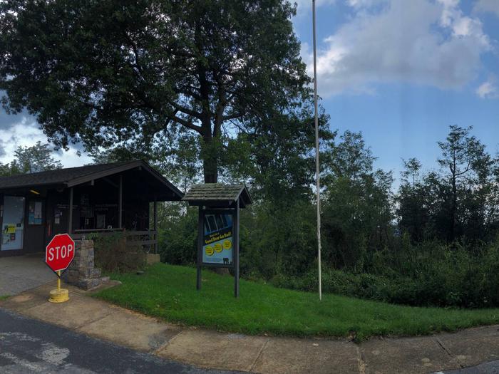
Perched on top of Big Flat Mountain, this is one of the largest campgrounds in the park. Loft Mountain is a popular destination for outdoor enthusiasts, providing a wilderness getaway in the historic Virginia mountains.
Recreation
Shenandoah National Park has over 500 miles of trails, including 101 miles of the Appalachian Trail. Some trails lead to a waterfall or lookout, while others wind deep into the forest and wilderness.
Trails to the Big Run Wilderness area are accessible from the campground, and pristine waterfalls are a common site along the popular trails.
Wildlife viewing is also a popular pastime, with black bears, wild turkey, deer, birds and countless other animals abundant across the park.
The campground is located right off of Milepost 80 on the famous Skyline Drive, which runs 105 miles north and south along the crest of the Blue Ridge Mountains. Stunning views are available from any of the 75 scenic overlooks.
Facilities
This expansive campground offers 200 campsites, as well as modern conveniences like flush toilets, water and dump station, which create a comfortable camping experience. Pay showers nearby at the campstore.
Natural Features
Shenandoah National Park includes 300 square miles of the Blue Ridge Mountains in the southern Appalachians. The park rises above the Virginia Piedmont to its east and the Shenandoah Valley to its west. Loft Mountain’s location on the mountain top offers easy access to Skyline Drive which offers sweeping views of the Blue Ridge Mountains and the surrounding rolling hills and open meadows.
Nearby Attractions
Two visitor centers with bookstores and exhibits are located in the park (milepost 5 and milepost 51). There are concession managed restaurants, gift shops and lodging facilities scattered throughout the park.
Charges & Cancellations
Cancellations more than 48 hours in advance of arrival date only incur a $10 transaction fee. Within 48 hours, $10 and the first night’s fee are charged