


Directions
From Interstate 395, take exit 10B for George Washington Memorial Parkway. Merge onto the parkway and continue for about 12 miles. Turn right onto Fort Hunt Road and continue to the park.
Phone
202-439-7325, OR 703-235-1530
Activities
HISTORIC & CULTURAL SITE, HIKING, PICNICKING, GUIDED INTERPRETIVE WALKS
Keywords
CG15,FORT HUNT PICNIC,FORT HUNT PARK,PICNIC,FORT HUNT,fort hunt,fort hont picnic area,picnic area,The George Washington Memorial Parkway,GWMP,The Mount Vernon Highway,Washington Street
Related Link(s)
Virginia State Road Conditions
Overview
Located only two miles from Mount Vernon, the historical home of George Washington, Fort Hunt Park is a local favorite for picnicking and recreation.
This picnic area has transformed tremendously over time, from George Washington’s farmland to a Spanish-American War fort to a top secret intelligence camp during World War II. The rich history of this area is still being discovered and shared with the public.
You may request a ranger program on the history of the park by calling 202-439-7325.
Recreation
Fort Hunt Park has many opportunities for recreation. There are several large fields and three softball diamonds, making it an ideal place for large picnics and family gatherings. All picnic rentals have different pricing for weekends versus weekday rentals. The playground located in Area A is always open to the public, as are the historic batteries. The inner lane of the Loop Road is closed to cars past Area A and can be used as a multi-use trail. The stretch of the Mount Vernon Trail from Turkey Run Park south to Riverside Park is a great place to see birds along the river. There are several birds of prey that live in the area, including George and Martha, the resident bald eagles near Mount Vernon.
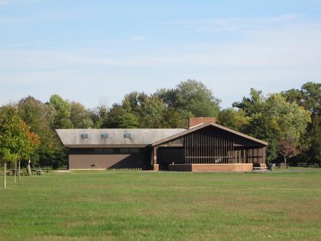
Facilities
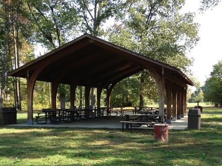
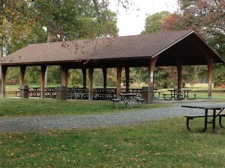
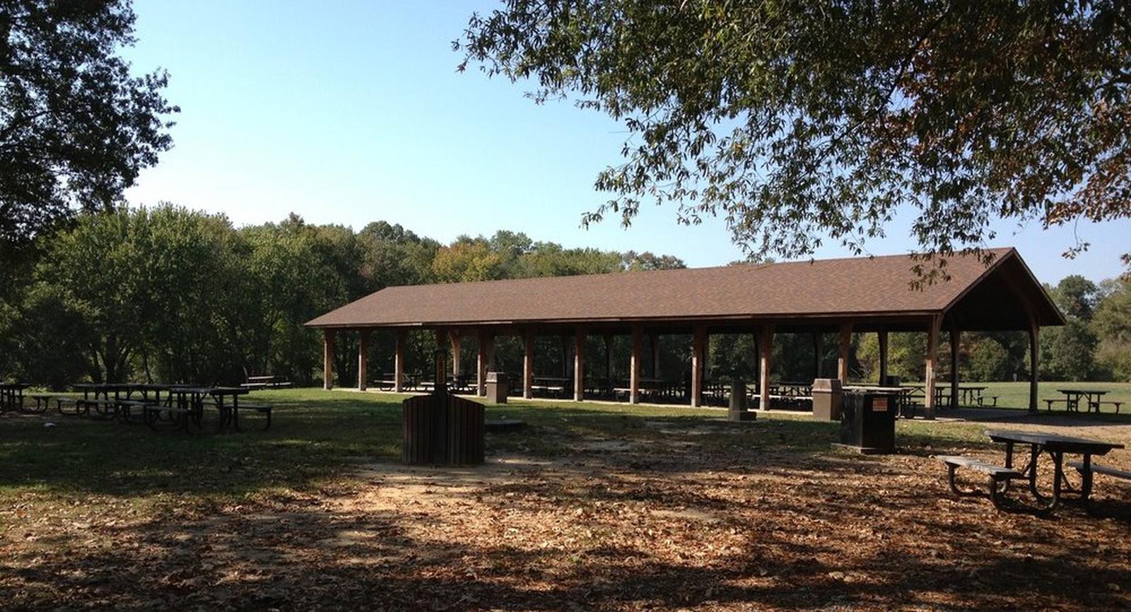
Fort Hunt has six picnic areas available, ranging in capacity from 100-600 people per site. There is no camping at this site. Also available are restrooms, picnic tables, playgrounds, softball fields and plenty of wide open spaces, Fort Hunt is an ideal place for group picnics. Area E is always open to the public on a first-come first-serve basis. However, the consumption of alcohol, use of moon bounces or other activities that require a permit are prohibited in Area E.
Users must provide there own barbecue grills, and properly dispose ash and coal in the ash cans provided throughout the park.
Recycling containers are provided, and the National Park Service highly encourages recycling. But, please do not put any food item in recycling containers, for it will contaminate the recycleables and require them to be thrown out as trash.
Natural Features
Fort Hunt is located just minutes from the nation’s capital in the lush hills of Northern Virginia. The area is abundant with trees, plants and wildlife, with mild, crisp winters that include the occasional dusting of snow, and hot, humid summers where the wildflowers greenery paint the backdrop. Trails behind the remains of the Spanish American War gun batteries were build by the Civilian Conservation Corps era, and provide peaceful walks in the woods with views of the Potomac River. One can enjoy a wallk around the park in the grassy fields and under tall trees.
Nearby Attractions
Fort Hunt is located just minutes from Mount Vernon, the historic site and former plantation of George Washington. The museums, memorials and monuments of Washington, D.C., are also located a short drive from the picnic area.
Charges & Cancellations
A $10.00 service fee will apply if you change or cancel your reservation. Late cancellations are subject to additional fees. Cancellations within 14 days of the reservation date will forfeit the entire reservation fee for the shelter facility. There is no inclement weather policy, this is an open outdoor facility. For further information on reservation and cancellation policies please visit https://recreation.gov/rules-reservation-policies.