
Directions
Boat transportation can be arranged with Island Packers from Ventura Harbor.
To park headquarters in Ventura, California: Highway 101, exit Victoria or Seaward to Ventura Harbor.
Phone
805-658-5730
Activities
CAMPING, HIKING, WILDLIFE VIEWING, WILDERNESS, PHOTOGRAPHY, BIRDING, BACKPACKING
Keywords
CG09,SANTA CRUZ DEL NORTE,DEL NORTE,CHANNEL ISLANDS,SANTA CRUZ,Channel Islands National Park,Channel Island
Related Link(s)
California State Road Conditions
National Park Services Concessionaire
Overview
For a truly remote getaway full of backpacking and breathtaking scenery, take a backcountry trip to Santa Cruz Island’s Del Norte Campground. Del Norte is currently the only backcountry campground on Santa Cruz Island. The National Park Service opened this backcountry site in recognition of its rare wilderness values. As you explore these wild areas, please take the responsibility to help us protect and preserve these delicate natural resources for future generations.
While backcountry camping is an incredible experience, it is not for the inexperienced backpacker. Due to difficult weather, rugged terrain, and off-trail hiking, backcountry camping is an arduous endeavor and should be undertaken only by experienced, well-conditioned backpackers.
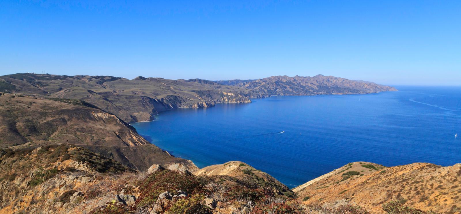
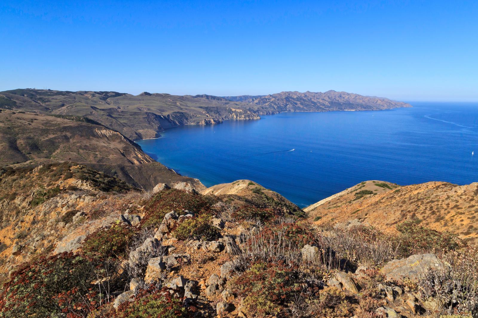
To reach this backcountry site, visitors will backpack along a historic ranch road/trail through a series of canyons and ridges, to a vista about 700 feet above sea level. This moderate to strenuous 3.5-mile hike from Prisoners Harbor travels through island oak woodlands and coastal sage scrub plant communities.
Recreation
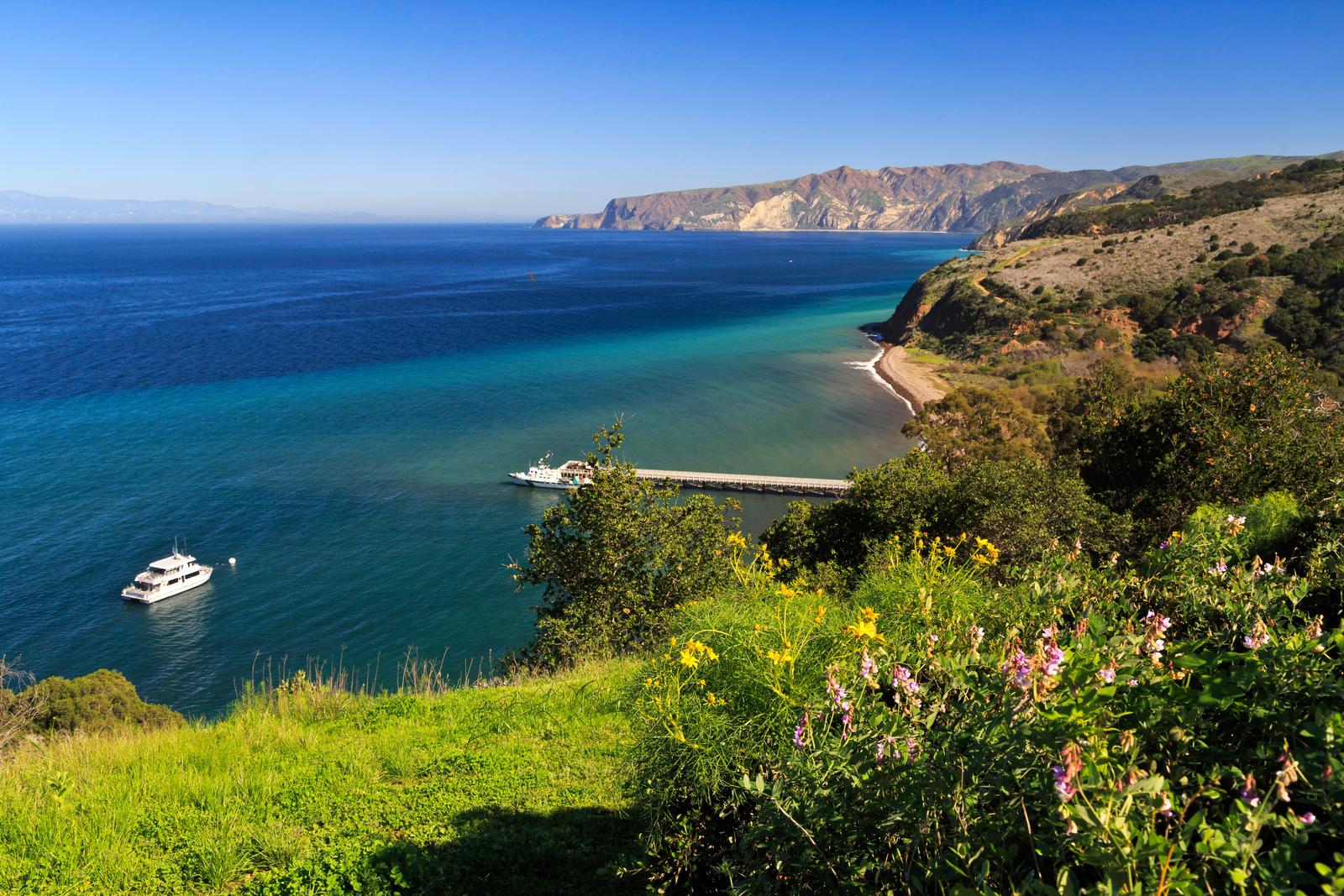
From Prisoners Harbor, the shortest route to the Del Norte Campground is 3.5 miles via the Del Norte Trail. Follow the Navy Road out of Prisoners Harbor for 1.5 miles (600-foot elevation gain; strenuous). This gravel road is still used daily by vehicles, so please use caution while hiking along it. At the signed turn-off for Del Norte Trail, leave the gravel road and continue east (left) along the trail for 1.8 miles. The trail winds up and down two canyons (Cañada del Agua and Cañada del Muro)) to the signed junction with the Del Norte Road that leads .2 miles to the campground. The longer route (5 miles), which provides views of the south side of the island, follows the Navy Road as it climbs 1,200 feet over 4 miles and eventually reaches the junction with the Del Norte Road. At the signed junction, turn north (left) and descend 1 mile to the campground. From Scorpion Anchorage, Del Norte Campground is approximately 12 miles via the Navy Road. Beach access is at Prisoners Harbor. There is no access to the beach at Del Norte Campground. Recreational activities on Santa Cruz Island include hiking, swimming, snorkeling, diving, kayaking and wildlife/wildflower viewing. There are no services on the island, so all gear has to be brought to the island. Guided kayak trips and kayak rentals must be arranged before arriving on the island. For more information about recreational activities in the park, visit https://www.nps.gov/chis/planyourvisit/index.htm .
Facilities
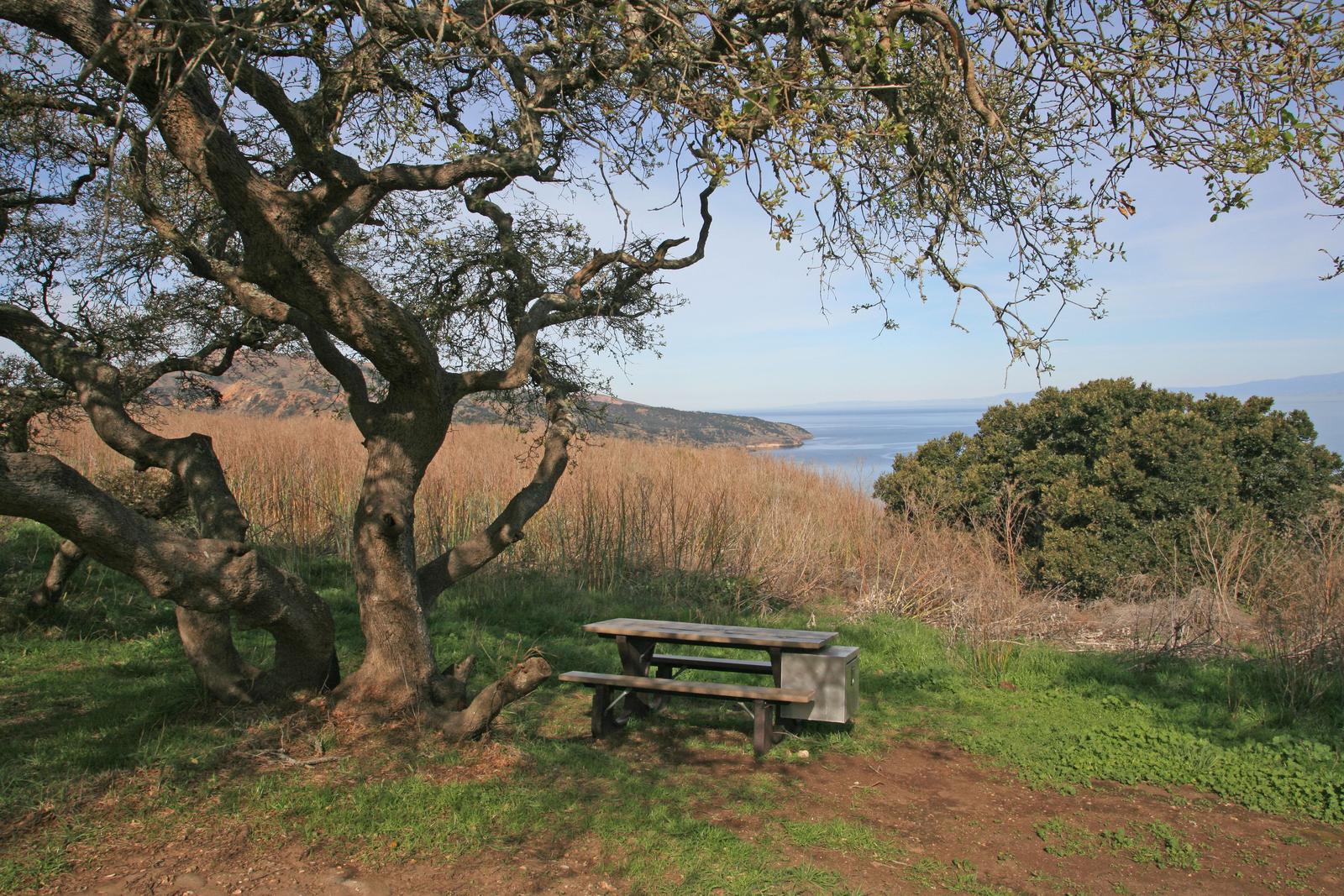
The Del Norte Campground has four primitive campsites (four persons per site) and users must camp within these designated sites. A picnic table and pit-style toilet are provided (campers must bring their own toilet paper). Visitors are encouraged to pack as light as possible (backpacking style) as they will need to carry all of their gear, food and water to the campsite. Water is not available. Access to the island is by Island Packers Cruises or by private boat.
Natural Features
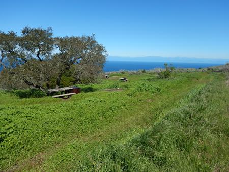
Del Norte is nestled in a shaded oak grove and provides scenic views of the island’s pristine coastline.
The largest of California’s Channel Islands, Santa Cruz Island is one of the five islands that make up the Channel Islands National Park. The island is rich in cultural history, magnificent landscapes, and unique flora and fauna. Native American Indians inhabited the island for over 10,000 years and Europeans explored and ranched on the island for over 150 years.
Over 600 plant species, 140 land birds, 11 land mammals and a handful of amphibians and reptiles call the island their home. The island fox and island scrub-jay are exciting finds, as they’re unique to the island, found nowhere else in the world.