

Directions
Cougar Rock Campground is located 14 miles east of Ashford, Washington, on State Route 706/Paradise Road.
Phone
360-569-2211
Activities
CAMPING, INTERPRETIVE PROGRAMS, HIKING, PICNICKING, VISITOR CENTER, DAY USE AREA
Keywords
CG82,Mount Rainier National Park
Related Link(s)
Washington State Road Conditions
Overview
Cougar Rock Group Campground, on the southwest side of Mt. Rainier National Park, is conveniently located to the Paradise area. Paradise is the most popular destination in the park, with a lodge and visitor center, many miles of hiking trails and a commanding view of the mountain.
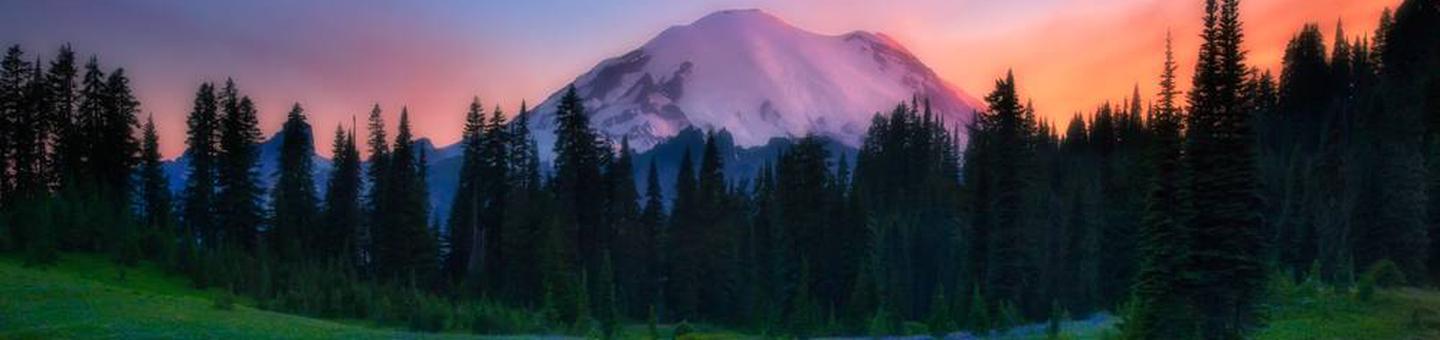
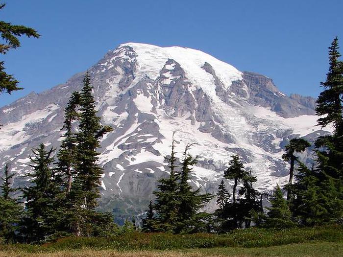
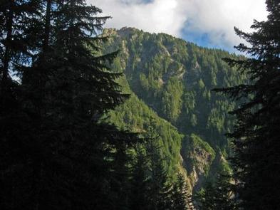
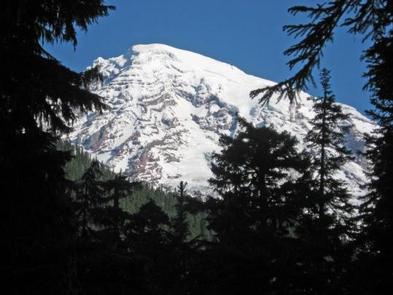
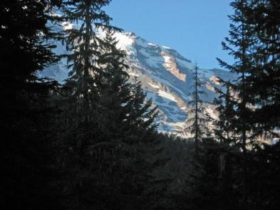
The main attraction at Mount Rainier National Park is the mountain itself, a glacier-clad volcano of immense proportions. At 14,411 feet, it dominates the skyline for hundreds of miles. Visitors travel through majestic old-growth forest, past tumbling waterfalls and historic buildings to reach sub-alpine meadows, where world-famous wildflower displays are seen through July and August. Popular activities in the park include sight-seeing, hiking, rock climbing and camping.
The Cougar Rock area is located at an elevation of 3,180 feet. Summers are dry and cool with daytime temperatures in the 60 to 80-degree range. Weather throughout the park can be variable, so visitors should come prepared.
Recreation
From the facility, experienced hikers and backpackers can access the well-known, strenuous but beautiful Wonderland Trail, which encircles the park for 93 miles. For those who enjoy learning more about the park’s natural and cultural history, there is an on-site amphitheater where interpretive programs are held.
Facilities
The group campground has five campsites and is located within the general Cougar Rock Campground. Sites are relatively rustic, but have drinking water, flush toilets and picnic tables. All group campsites must be reserved. Visitors must use extra caution with food storage, as foxes and other animals have been known to frequent the campground looking for food.
Natural Features
The campground has one lookout point from which campers can view Mt. Rainier. Although it is peaceful now, the still-active volcano last erupted in the mid 1800s. The campground is adjacent to the Nisqually River and is surrounded by thick forests. A short drive to Paradise in summer reveals fields of lush wildflowers.
Nearby Attractions
Mount Rainier National Park is about 50 miles southeast of the Seattle-Tacoma metropolitan area.