BUCK CREEK (MO), MO Campground Reservation, Info, Images, Map, Directions

BUCK CREEK (MO), Missouri Campground Images, Info & Reservations

Listen

Directions

From Mountain Home, AR, take SR 5 N 24 mi. to US 160 JCT. Travel W on US 160 21 mi to Hwy U. Follow SR U 5 mi. S to US 125 for 5.7 mi. to Buck Creek Park Access Road. Follow signs into campground.

Phone

417-785-4313

Activities

BOATING, CAMPING, SWIMMING SITE

Keywords

BUCK,BULL SHOULS LAKE,BULL SHOALS LAKE

Related Link(s)

Rec Area Info & Images

Missouri State Tourism

Missouri State Road Conditions

Overview

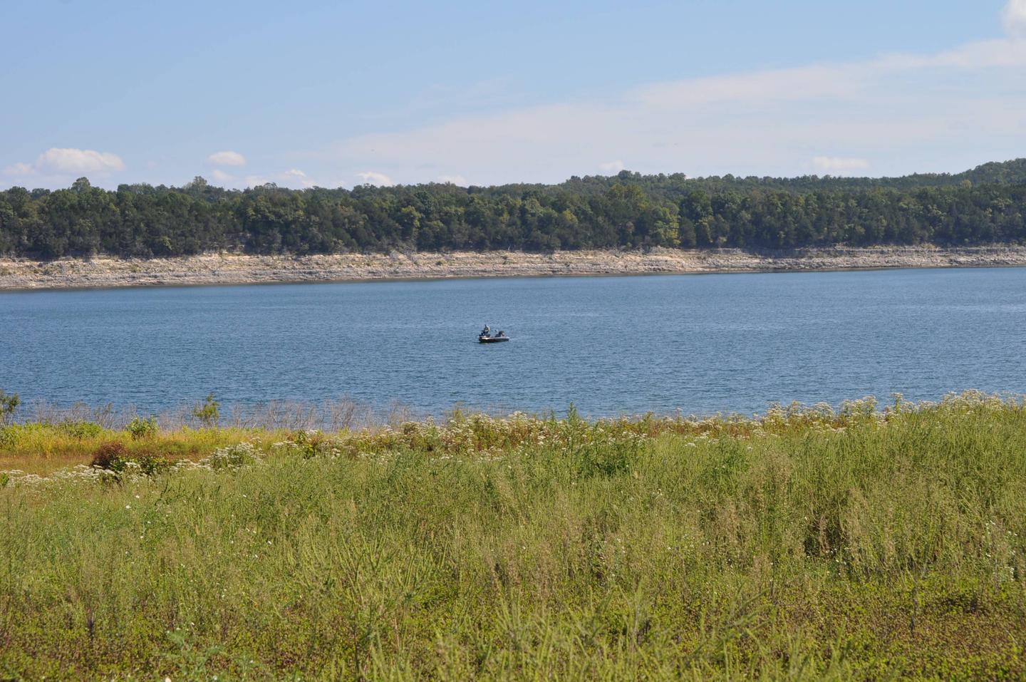
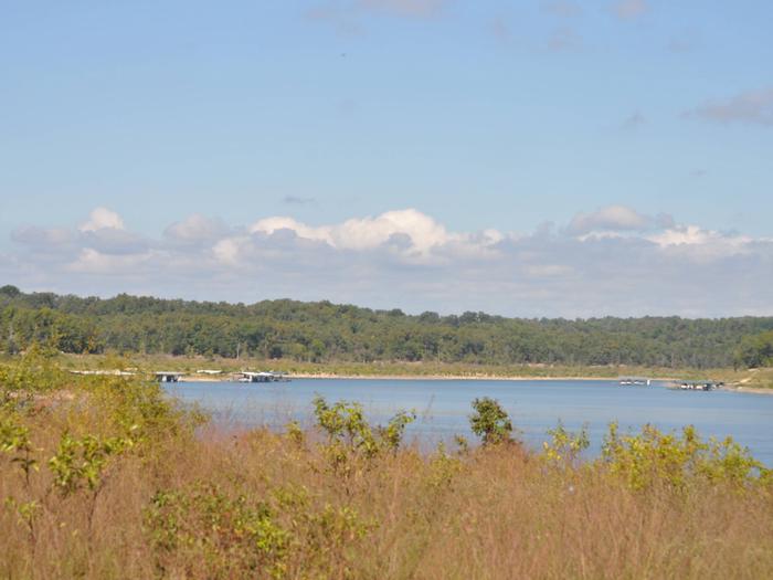
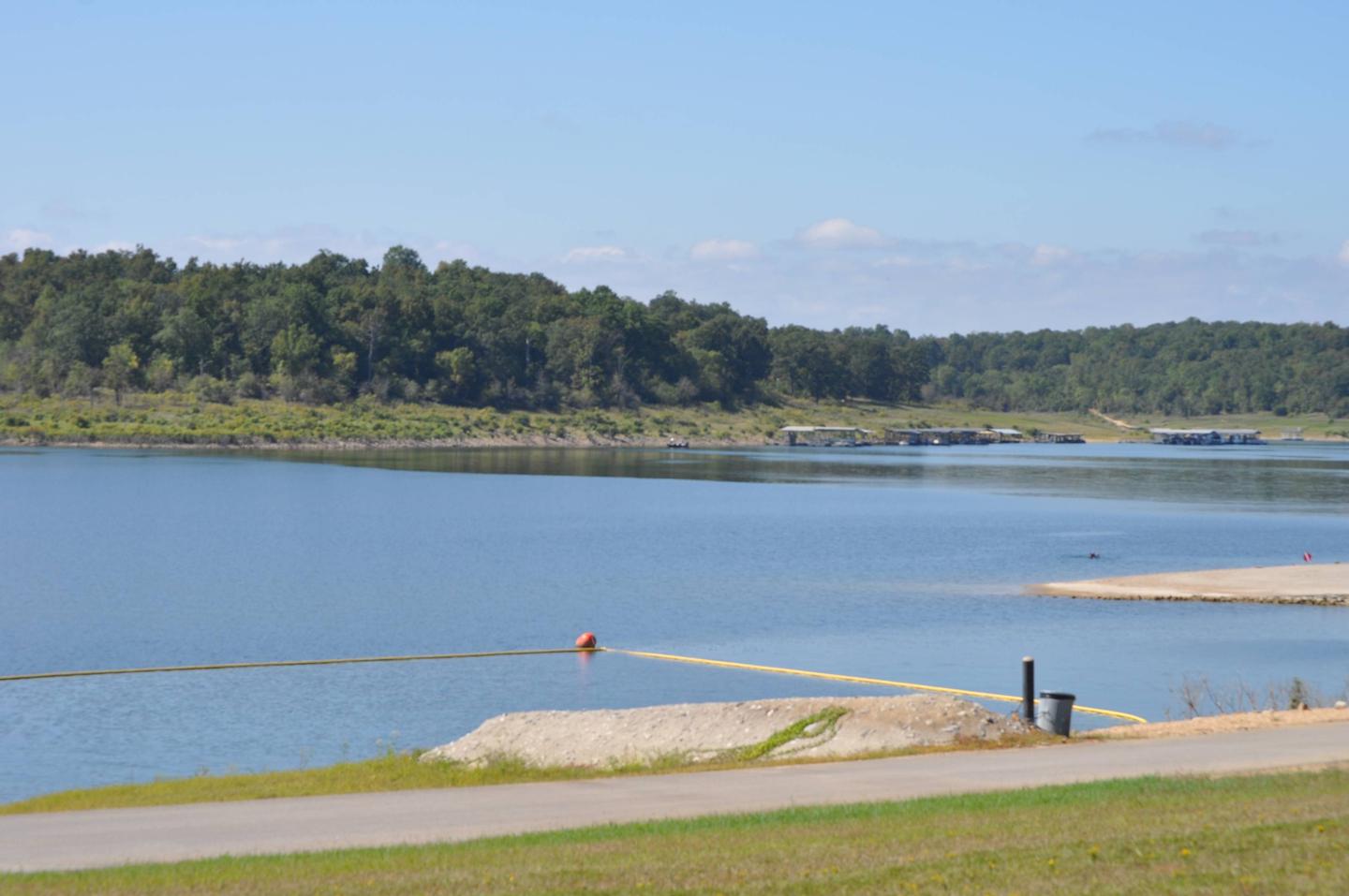
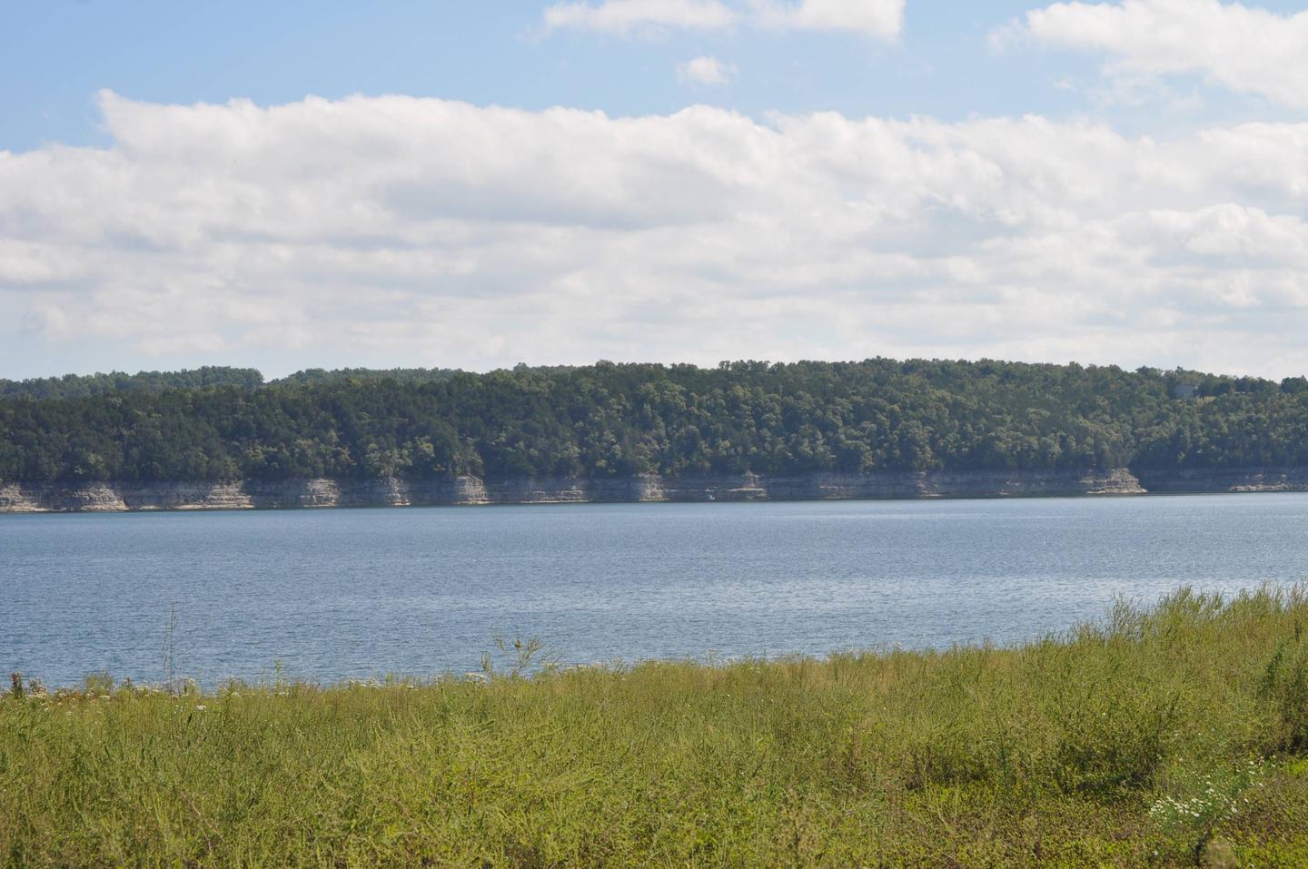
Relax in the shaded campsites at Buck Creek, on the Arkansas side of the massive Bull Shoals Lake. Here, there’s plenty of opportunities for water sports, hiking and picnicking.

The Peel Ferry, the last remaining state-operated ferry in Arkansas, leaves from Buck Creek. It connects Highway 125 from Arkansas to Missouri for convenient access to the lowers stretches of the lake.

Recreation

Bull Shoals Lake has great appeal to jet skiers, water skiers, fishermen, birders, hikers and those who just want to "get away from it all."

Fall foliage in the area attracts lots of visitors for an annual celebration called the Flaming Fall Revue.

Facilities

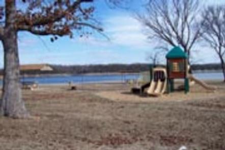
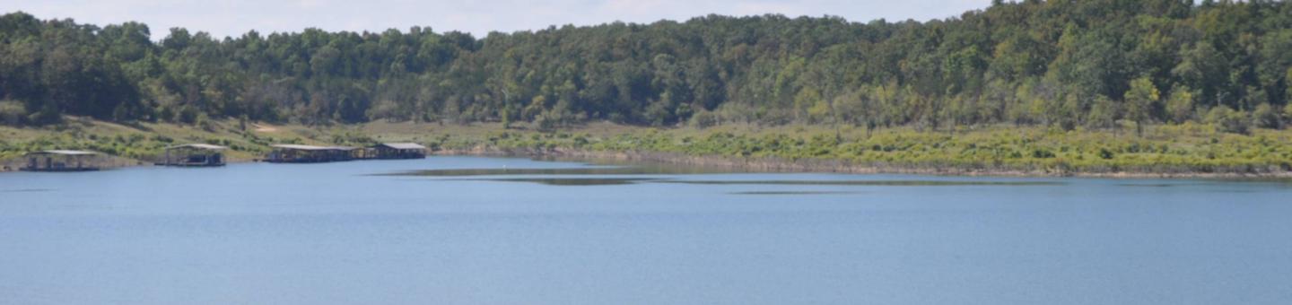
All but two of the 38 sites have electric hookups. The campground caters to kids with a playground and swimming area, and campers with boats can make use of the launch ramp.

Natural Features

Bull Shoals Lake, spanning upwards of 71,000 acres, is fed from the White River. The river flows from northwest Arkansas to south-central Missouri, and then loops back into central Arkansas where it eventually flows into the Mississippi River. The lake is lined with hardwoods and cedar.

Nearby Attractions

Visit the Bull Shoals-White River State Park and explore its two hiking trails. The Big Bluff Trail presents views of the White River below Bull Shoals Dam, and the Lakeside Trail meanders along the shores of the lake.

Reservation

More from CampingHiking.net:

Aitch Picnic Shelter, Pennsylvania Campground Images, Info & Reservations

Listen Directions Aitch is located near the town of Marklesburg, PA. From Huntingdon continue 10.5 miles southbound along Rt. 26 to Marklesburg. At Markelsburg turn left onto Aitch Road (marked by sign). Aitch Road leads directly to the Shelter location (0.8 miles). Phone 814-658-3405 Activities BOATING, HISTORIC & CULTURAL SITE,

RAINBOW POINT CAMPGROUND, Montana Campground Images, Info & Reservations

Listen Directions From West Yellowstone, travel 5 miles north on Highway 191. Turn west (left) onto Rainbow Point Road (Forest Road 6954) and travel 3 miles, then 2 miles north (right) on Rainbow Point Road, after the intersection. Phone 406-646-1012 Activities BIKING, BOATING, CAMPING, FISHING, HIKING, WILDLIFE VIEWING, DAY USE

DAMSITE, Missouri Campground Images, Info & Reservations

Listen Directions From Springfield, MO, take US 65 north for 60 miles to Preston, MO.. Continue on Highway 54 west to Hermitage, MO., then take Highway 254/ 64 south to Carsons Corner and follow Highway 254 west toward the dam. The entrance to Damsite Park is on the south side

GREEN ISLAND CABIN, Alaska Campground Images, Info & Reservations

Listen Directions The cabin is located on the northwest end of Green Island in Gibbon Anchorage. It is accessible via float plane (40 minutes from Cordova, 60 minutes from Seward) or boat (75 miles from Cordova, 70 miles from Whittier, 100 miles from Seward). Boaters should use caution and watch

BELTON LAKEVIEW PARK, Texas Campground Images, Info & Reservations

Listen Directions From Interstate 35 in Belton, Texas take exit onto Road 317 (North Main Street). Turn left onto Farm-to-Market Road 439 (Lake Road), and travel west about four miles to the park. Phone 254-939-2461 Activities BOATING, CAMPING, FISHING, PICNICKING Keywords BELT,OVERLOOK PAVILION (BELTON LK),BELTON GROUP USE AREA,FRANKS PAVILION,BELTON PARK,BELTON

MINERAL SPRINGS GROUP, Washington Campground Images, Info & Reservations

Listen Directions Located on Highway 97, about 21 miles northeast of Cle Elum, Washington. The group camping area is to the left after crossing the bridge into the campground. Phone 509-852-1100 Activities CAMPING, HIKING, WILDLIFE VIEWING, BIRDING Keywords MINE,OKANOGAN – WENATCHEE NF -FS Related Link(s) Rec Area Info & Images