HANKS CREEK, TX Campground Reservation, Info, Images, Map, Directions

HANKS CREEK, Texas Campground Images, Info & Reservations

Listen

Directions

From Zavalla, TX, take State Hwy 147 northeast for 1/4 mile, then turn north on FM 2109, go 8 miles to FM 2801. Turn right (east) on FM 2801 and go 2 miles to the park entrance. Follow signs into the campground.

Phone

409-384-5716

Activities

BIKING, BOATING, CAMPING, FISHING, HUNTING, SWIMMING SITE

Keywords

HANK,SAM RAYBURN RESERVOIR,SAM RAYBURN LAKE,HANKS CREEK PARK,SAM RAYBURN RESERVOIR

Related Link(s)

Rec Area Info & Images

Texas State Road Conditions

Texas State Tourism

Overview

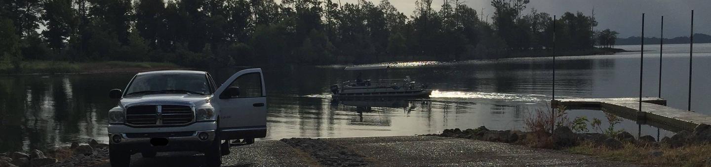
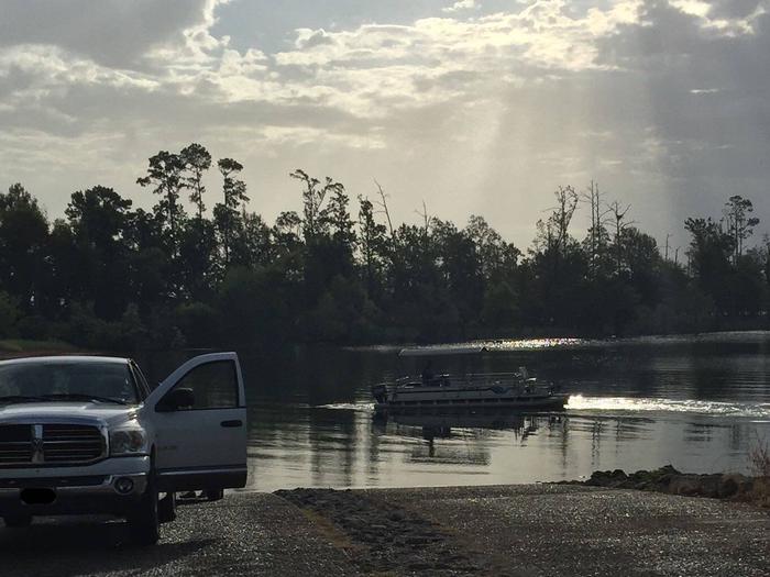
Hanks Creek Park has something for everyone, with plenty of water sports on Sam Rayburn Reservoir and volleyball, mountain biking, wild life viewing and birding for those who want to stay on shore.

The Red-cockaded woodpecker, an endangered species, is found throughout the forest surrounding the reservoir. The bird makes its home by pecking cavities in large, living pine trees.

Recreation

Fishing is excellent for largemouth bass, crappie, catfish and sunfish, with frequent fishing tournaments. The lake is also popular for jet skiing, water skiing and swimming.

Facilities

The park features 47 campsites with electric hookups. Additional amenities include group camping, a playground, boat ramp and hot showers.

Natural Features

Sam Rayburn Reservoir, also called Lake Sam Rayburn, boasts over 114,000 surface acres, making it the largest man-made lake completely in Texas. It’s surrounded by the Angelina National Forest, and is within short proximity to the Sabine and Davy Crockett National Forests.

Nearby Attractions

The 20,700-acre Bannister Wildlife Management Area is on the northern peninsula of the lake. Hikers and bikers can come here to explore the designated Eastern Wild Turkey restoration site.

Reservation

More from CampingHiking.net:

RAGLAND BOTTOM, Tennessee Campground Images, Info & Reservations

Listen Directions From Smithville, Tennessee, take US-70 east for 8 miles. Turn left on Ragland Bottom Road and follow signs to the campground, located one mile from Sligo Bridge. Phone 931-761-3616 Activities BOATING, CAMPING, FISHING, HIKING, SWIMMING, WATER ACCESS, WATER SKIING Keywords RAGL,CENTER HILL LAKE,CENTER HILL LAKE Related Link(s) Rec

CROCKER GUARD STATION, California Campground Images, Info & Reservations

Listen Directions From Portola, CA, travel east on Highway 70 for five miles to Beckwourth, CA. Travel north on County Road 111 (Beckwourth-Genesee Road) for six miles. Crocker Guard Station is on the left. Phone 530-832-1076 Activities CAMPING, FISHING, HIKING Keywords Related Link(s) Rec Area Info & Images California State

PINE POINT, Oregon Campground Images, Info & Reservations

Listen Directions From Sandy, Oregon, travel east on Highway 26 for approximately 40 miles to Skyline Road/Road 42. Turn right on Skyline Road and continue south for about 9 miles. Turn right on Forest Service Road 57 and travel west for 3 miles, then turn right again at the Pine

SAN ANTONIO CAMPGROUND, New Mexico Campground Images, Info & Reservations

Listen Directions From Jemez Springs, New Mexico, travel 9 miles north on New Mexico State Road 4 and along the Jemez Mountain Trail National Scenic Byway, then take New Mexico State Road 126 for 2 miles to campground. Phone 575-829-3535 Activities CAMPING, FISHING, HIKING, WILDLIFE VIEWING Keywords None Related Link(s)

DOG CREEK (ID), Idaho Campground Images, Info & Reservations

Listen Directions From Mountain Home, travel east on Highway 20 for 35 miles, to the turnoff for Pine/Featherville (Forest Highway 61). Travel north on Highway 61 for 23 miles to the campground. Phone 208-587-7961 Activities BIKING, BOATING, CAMPING, FISHING, HIKING, WILDLIFE VIEWING, SWIMMING SITE Keywords DOGC,BOISE NF – FS Related