
Directions
From LaGrange, Georgia, take State Highway 109 west for 7 miles. After crossing the First Lake Bridge, continue another mile and turn left onto Thompson Road. At the next intersection, bear left and follow signs to the park. This county road leads directly into the campground.
Phone
706-884-6818
Activities
BOATING, CAMPING, FISHING, HIKING, SWIMMING SITE
Keywords
HOL1,WEST POINT LAKE,WEST POINT PROJECT
Related Link(s)
Overview
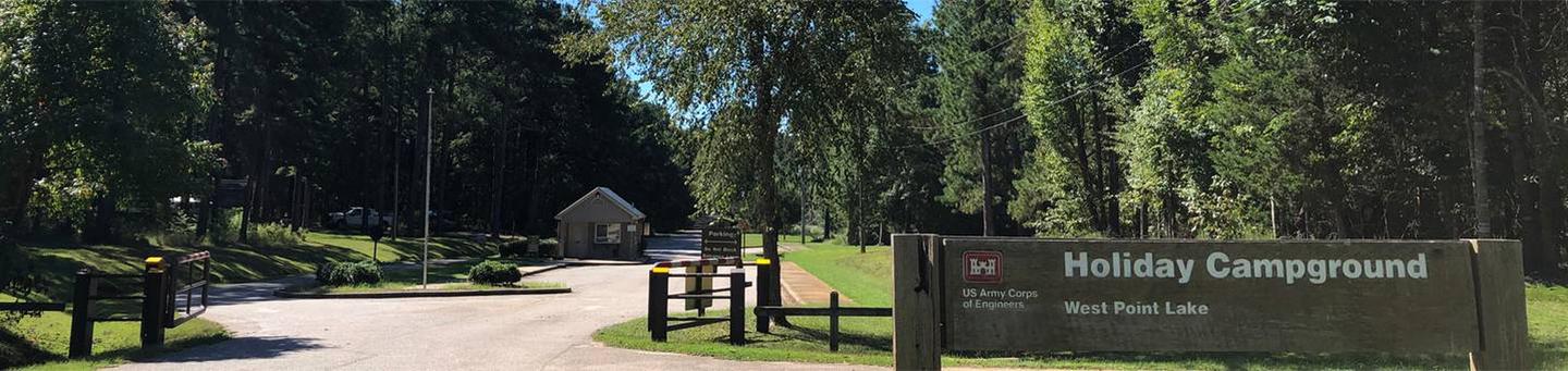
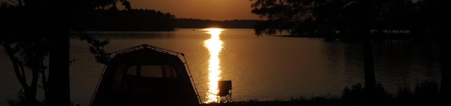
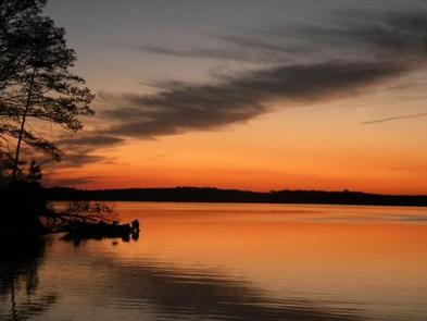
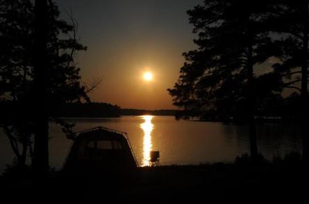
Holiday Campground is a waterfront facility on the western shore of West Point Lake, which spans parts of Alabama and Georgia.
This man-made lake has 525 miles of shoreline that provide excellent opportunities for fishing, camping, boating and other recreational activities.
Recreation
Whether sailing or power boating, West Point Lake is a boater’s paradise. There are boat ramps in 34 public recreation areas around the lake, including Amity, as well as two privately owned full-service marinas. Fishing is one of the most popular activities on the lake. A dozen creeks and more than 40 square miles of lake provide plenty of good fishing spots for the thousands of anglers who fish here regularly. The lake abounds with bass, catfish, crappie and bream. Bank fishing is excellent at many locations, including public fishing piers at Hardley Creek, Rocky Point and McGee Bridge parks. Several trails wind along the lake and through the landscape, including the Lakeside Trail, which is perfect for mountain biking. A wildlife management area of nearly 10,000 acres, located at the upper end of the lake, provides habitat for many types of wildlife. This area offers excellent hunting opportunities.
Facilities
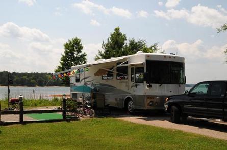
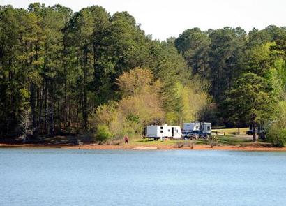
Holiday Campground is a large facility with 112 campsites and two group camping areas, including electric, non-electric, tent-only and group sites. Basketball and tennis courts and a playground provide additional recreation opportunities for guests.
Natural Features
Surrounded by rolling fields and deep forests that display outstanding fall foliage, West Point Lake extends 35 miles along the Chattahoochee River on the Alabama-Georgia state line. The campground is located on a forested peninsula and overlooks the 25,900-acre lake.
Nearby Attractions
The lake offers 21 day-use parks. While many people visit the lake to boat and camp, the parks offer a variety of other recreation facilities including tennis courts, ball fields, basketball courts, fishing piers with fish attractors, hiking trails and picnic shelters for individuals or large groups.
Charges & Cancellations
Changes and Cancellations: A $10.00 service fee will apply if you change or cancel your reservation. Late cancellations are subject to additional fees. For full details see R1S Reservation Policy