LOCK A, TN Campground Reservation, Info, Images, Map, Directions

LOCK A, Tennessee Campground Images, Info & Reservations

Listen

Directions

From Ashland City, Tennessee, take US 12 and go eight miles west to Cheap Hill. Turn left on Cheatham Dam Road traveling west four miles. Turn left into the campground.

Phone

615-792-3715

Activities

CAMPING, HIKING, WATER SPORTS

Keywords

LOCA,CHEATHAM LAKE,CHEATHAM DAM,CHEATHAM L & D

Related Link(s)

Rec Area Info & Images

Tennessee State Road Conditions

Tennessee State Tourism

Overview

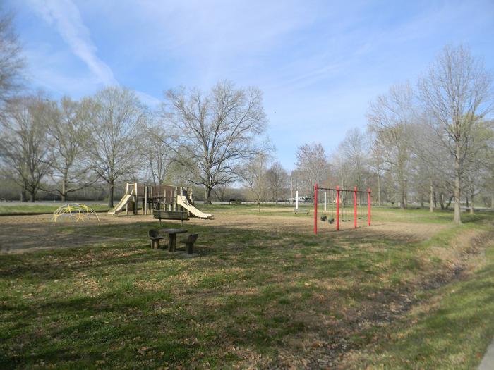
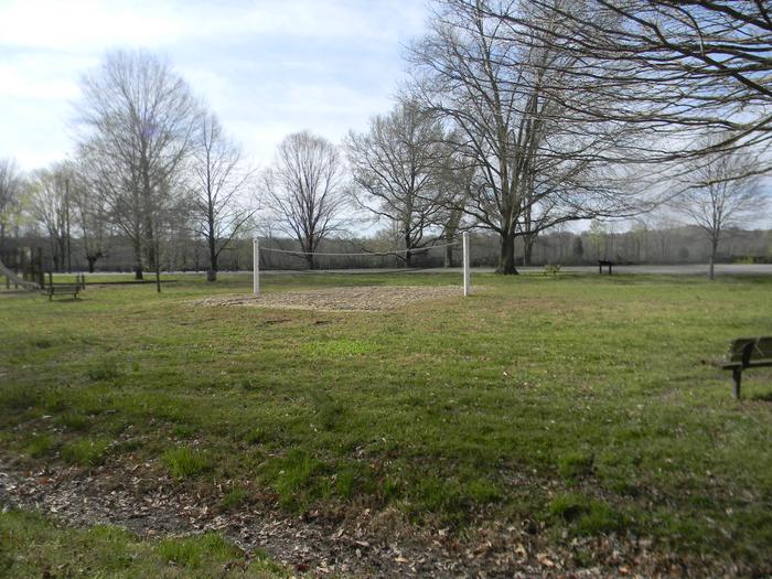
The relaxing yet activity-rich Lock A Campground has something to offer everyone from horseshoe pits to volleyball courts and hiking opportunities, plus a plethora of lake activities as well.

Recreation

The temperate climate here allows for a lengthy recreation season including boating, swimming, canoeing and fishing.

For hikers, the Cumberland River Bicentennial Trail is a rails-to-trails project, which runs 6.5 miles long and crosses Sycamore Creek on a historic abandoned railroad trestle.

Facilities

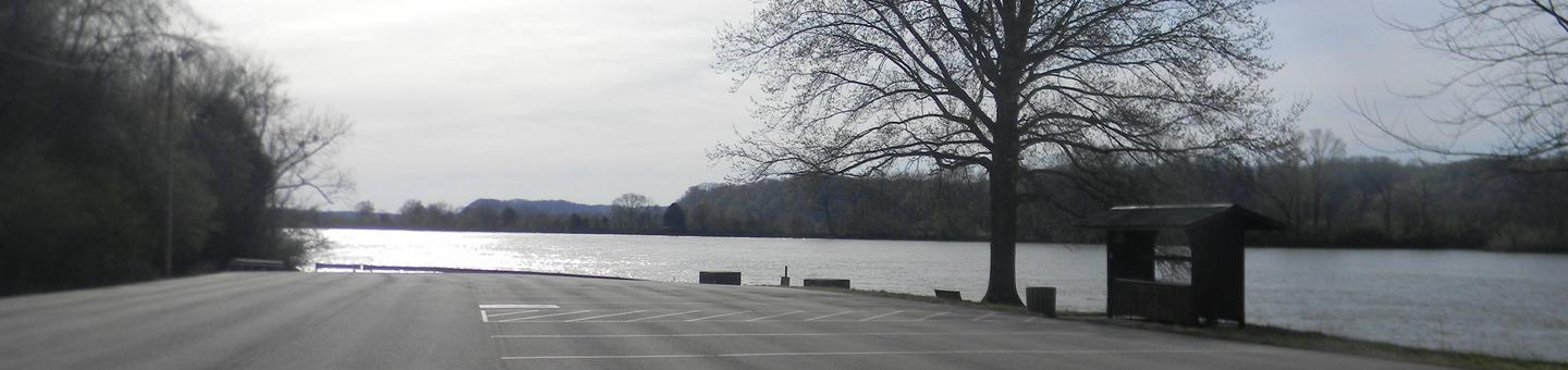
Both RV and tent sites have 50 amp electric hookups. Additional amenities include hot showers, a dump station, boat launch, playground, picnic shelter and swimming area.

A beach and additional playgrounds are available in the adjacent Cheatham Dam Right Bank Recreation Area.

Natural Features

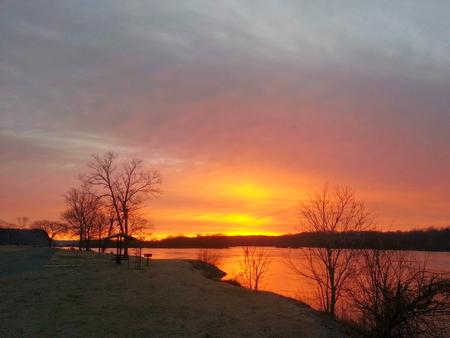
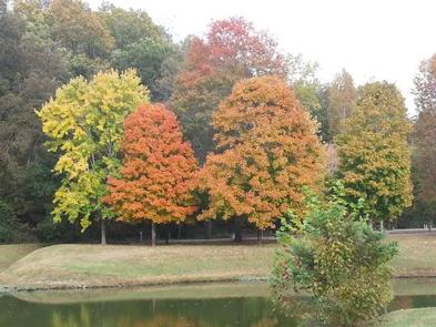
Lock A is on the north bank of the lake, just upstream from Cheatham Lock and Dam along the Cumberland River in north-central Tennessee.

Nearby Attractions

The Pardue Pond and Dyson Ditch Wildlife Refuges are on the other side of Cheatham lake. Both are excellent places for bird watching and exploring.

Reservation

More from CampingHiking.net:

SHORT CREEK GUARD STATION, Oregon Campground Images, Info & Reservations

Listen Directions From the town of Prairie City, OR., turn South (right) onto South Main Street. Follow South Main Street to the junction with Bridge Street, turn left onto Bridge Street. Follow Bridge Street past the local cemetery, the road then changes to County Road 62. Continue on County Road

ASPEN LEAF, Colorado Campground Images, Info & Reservations

Listen Directions From Grand Junction, head south on Highway 50. Take a right on County Road 141 heading south for 14.5 miles. Make a sharp left on Divide Road. This road is not marked, but prior to turn, a sign reads "National Forest Access Divide Road, Uncompahgre Plateau." Follow this

KAIBAB LAKE SITES AND GROUP AREAS, Arizona Campground Images, Info & Reservations

Listen Directions From Williams, Arizona, take I-40 east to exit 165. Turn north onto State Highway 64 toward Grand Canyon and go a mile to the campground entrance on the left. Phone 928-699-1239 Activities BOATING, CAMPING, INTERPRETIVE PROGRAMS, FISHING, HIKING, HORSEBACK RIDING, WILDLIFE VIEWING, DAY USE AREA Keywords KAIB,Kaibab Picnic

KIRBY COVE CAMPGROUND, California Campground Images, Info & Reservations

Listen Directions From San Francisco (travelling north):  Cross the Golden Gate Bridge and take exit 442 onto Alexander Avenue. This will be the exit after the Vista Point. Continue straight for about a mile, and then turn left onto Bunker Road. Travel through the Baker-Barry Tunnel and continue straight until