LONGHORN, TX Campground Reservation, Info, Images, Map, Directions

LONGHORN, Texas Campground Images, Info & Reservations

Directions

From Interstate 20 or 820, take exit 432A for Bryant Irvin Road, and go 3 miles (1.8 km) south to the intersection with Dirks Road / Altabesa Boulevard. Turn right or west and go 1 mile (1.2 km) to the park and Lake Office which will be on the left.

Phone

817-292-2400

Activities

BOATING, FISHING, PICNICKING

Keywords

LGHN,BENBROOK LAKE

Related Link(s)

Rec Area Info & Images

Texas State Road Conditions

Texas State Tourism

Overview

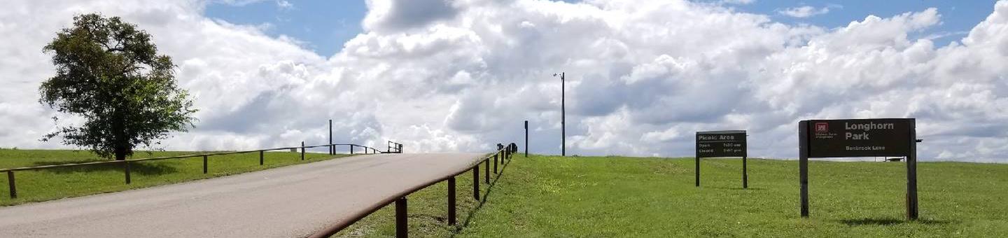
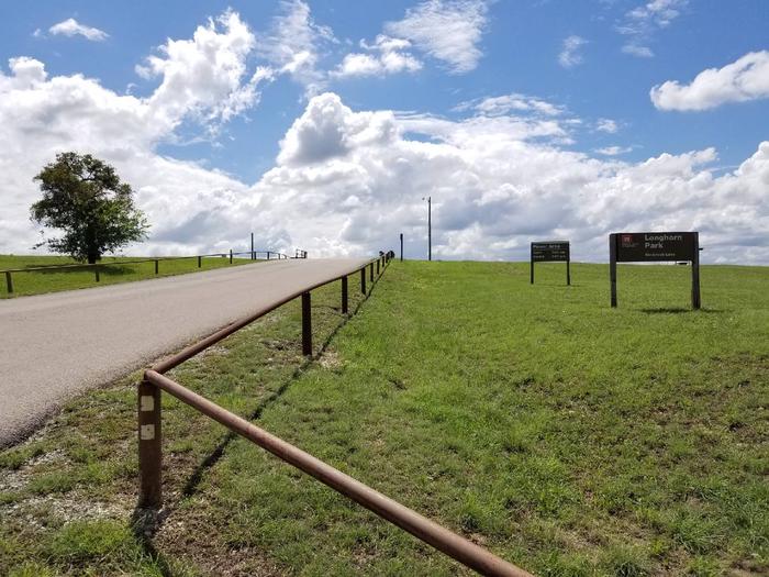
Longhorn Park Picnic Area overlooks Benbrook Lake & Dam in north-central Texas, easiley accessible from the Chisholm Trail Parkway and southwest Fort Worth. Along with a scenic overlook, a large group pavilion is available as well as picnicking, fishing and boat launching.

Recreation

The large group pavilion is popular for family and group activitries. Individual picnic sites and boat launching is also available in the park. The nearby spillway cut for the dam is a popular fossil-hunting locaiotn where visitors can search rof Cretaceous clams and coral remnants form 85 million yeats ago.

Facilities

The large picnic shelter can accommodate up to 100 guests, with restrooms and available parking. A volleyball court and horseshoe pit offer aditonal recreation opportunities.

Natural Features

Longhorn Park is on the high rocky bluffs of the Clear Fork, overlooking the southeast end of the dam.

Nearby Attractions

City lease areas on the lake’s north end offer golf courses, ball fields, tennis & volleyball courts, children’s play areas, trail access and other facilities. Fort Worth’s renowned Cultural & Museum District, Stockyards National Historic District, Botanical Gardens, Zoo, Bass Performance Hall, and downtown Sundance Square, are all only a short drive.

Reservation

More from CampingHiking.net:

SHOSHONE PARK KITCHEN, Idaho Campground Images, Info & Reservations

Directions From Mullan, drive east on Friday Ave, which turns into Larson Road. Total trip is about 3 miles. Look for signs to Shoshone Park. The West Kitchen is the first shelter when entering the park. Phone 208-783-2363 Activities BIKING, CAMPING, FISH HATCHERY Keywords SHOS,IDAHO PANHANDLE NF – FS Related

ELK CREEK CAMPGROUND (SAWTOOTH NF), Idaho Campground Images, Info & Reservations

Directions From Stanley, Idaho, take State Highway 21 west approximately 8 miles. Turn north at milepost 123 onto Forest Road 892 and follow the road to the campground. Phone 928-537-8888 Activities BIKING, CAMPING, FISHING, HIKING, WILDLIFE VIEWING Keywords ELK2,ELK CREEK CAMPGROUND IDAHO,SAWTOOTH NF – FS Related Link(s) Rec Area Info

NARROWS (AR), Arkansas Campground Images, Info & Reservations

Directions From Greers Ferry, AR, take SR-16 southwest for 2.5 miles. Follow signs to the campground. Phone 501-825-7602 Activities BOATING, CAMPING Keywords NARR,GREERS FERRY LAKE,GREERS FERRY LAKE Related Link(s) Rec Area Info & Images Arkansas State Road Conditions Arkansas State Tourism Overview Narrows Campground is located on Greers Ferry Lake

COAL MINE, New Mexico Campground Images, Info & Reservations

Directions From Grants, take New Mexico State Highway 547 for 10 miles to the campground. Phone 505-287-8833 Activities CAMPING, HIKING, SCENIC DRIVE Keywords COAM,CIBOLA NF – FS Related Link(s) Rec Area Info & Images New Mexico State Tourism New Mexico State Road Conditions Overview Coal Mine Campground is situated in