
Directions
From Greers Ferry, AR, take SR-16 southwest for 2.5 miles. Follow signs to the campground.
Phone
501-825-7602
Activities
BOATING, CAMPING
Keywords
NARR,GREERS FERRY LAKE,GREERS FERRY LAKE
Related Link(s)
Arkansas State Road Conditions
Overview
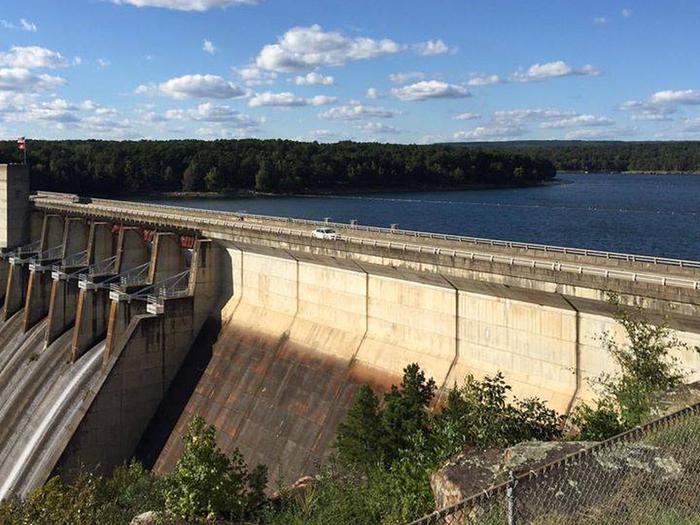
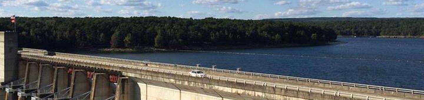
Narrows Campground is located on Greers Ferry Lake in the beautiful Ozark Mountains of north-central Arkansas. The environment provides the ideal location for family camping, fishing, boating and hiking.
Recreation
Greers Ferry Lake is an outdoor enthusiasts’ dream, with boating, sailing, water skiing, swimming, scuba diving and fishing opportunities.
Hikers can enjoy two award-winning national nature trails located near the welcome center. Mossy Bluff extends along a tree-covered bluff overlooking the Little Red River, immediately below the dam. It ends almost one mile away at a rustic shelter, which offers a panoramic view of the river and dam.
Nearby is Buckeye Trail, a short barrier-free, paved pathway designed for the physically challenged. Guide maps for both trails are available at the center.
Facilities
This campground offers 59 sites, all with electric hookups. Additional amenities include flush and vault toilets, drinking water, showers, a dump station, picnic shelters and a boat ramp.
Natural Features
A dense mix of red cedar, black gum, red oak, elm, pecan and sweet gum trees forest the area, providing shade in the summer months and beautiful fall colors in autumn.
Wildlife is plentiful around Greers Ferry Lake. Visitors commonly see white-tailed deer, wild turkeys, rabbits, squirrels and a wide variety of birds.
Nearby Attractions
With over 30,000 acres of water surface, the lake serves as a playground for all kinds of water sports. Eighteen parks around the shoreline provide modern campgrounds, boat ramps, swim areas and marinas.