
Directions
From Booneville, Arkansas, follow State Highway 10 east for 17 miles to Waveland. Turn right on State Highway 309 and drive for one mile. Turn right again onto Waveland Park Road and continue another mile. Turn left on Outlet Park Road near the Blue Mountain Lake Field Office. The park is located south of Blue Mountain Dam.
Phone
479-947-2101
Activities
BOATING, CAMPING, FISHING, HIKING, HUNTING, SWIMMING SITE
Keywords
OUTL,BLUE MOUNTAIN LAKE,BLUE MOUNTAIN
Related Link(s)
Arkansas State Road Conditions
Overview
Please note that the sites have been renumbered on the pavement and have now been updated in the system.
Outlet Area Park is located on the beautiful Blue Mountain Lake near Waveland, Arkansas.
Visitors are greeted with shaded campsites, spectacular scenery and many outdoor recreation opportunities. Blue Mountain Lake provides the ideal spot to get away from it all, relax and enjoy fishing, boating, hunting, hiking and more.
Recreation
Families, anglers, boaters, hikers, water skiers and hunters are drawn to the lake for its recreational activities. Forests around the lake are also open to hunting. The river channel through Outlet Area Park provides prime bank fishing opportunities for crappie, largemouth and white bass, bream and catfish. Families can make use of Outlet Area’s playground, and the shady, cypress tree-lined swimming area in nearby Waveland Park. The J. Perry Mikels Blue Mountain Special Use Area on the west end of the lake has a world-class bird dog field trial area that attracts visitors from throughout the United States and several other countries. Anyone may use the facilities to train dogs.
Facilities
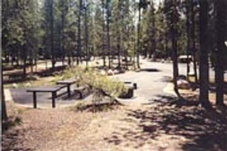
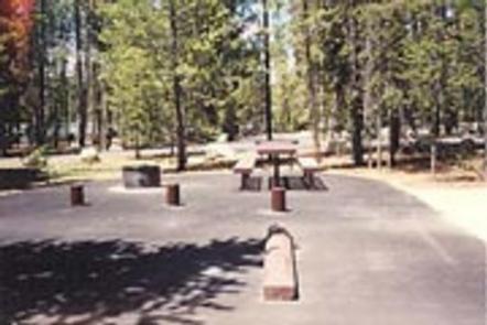
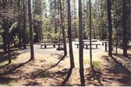
Visitors can choose from 26 reservable and 12 non-reservable campsites, with electricity and water hookups, including three multi-family sites. Most sites are waterfront; a few are just a short walk away from the water. Anglers have the convenience of a fish cleaning station.
Natural Features
Blue Mountain Lake is situated in the shadow of Mt. Magazine, the highest mountain in Arkansas and the tallest between the Rockies and Alleghenies.
Farmland, rolling green mountains and two national forests surround the lake, adding to the natural beauty of the area. The lake shore consists of mixed pine and hardwood forests, wetlands and grasslands, which provide habitat for many native wildlife species.
Outlet Area Park is located just downstream of Blue Mountain Dam. Water flow from the dam travels down the river channel through the park as it heads further down in the Petit Jean River Valley.
Nearby Attractions
The lake is situated between the Ozark and Ouachita National Forest, and Mt. Magazine State Park is within a 30-minute drive. Additional information for local attractions is available at chambers of commerce in nearby towns.