
Directions
From downtown Nashville, TN, take I-40 east to I-24 east. After 15 miles take exit 66B and turn right onto Sam Ridley Parkway. Turn right onto Highway 41 north, and after about 1.5 miles turn right onto Fergus Road. Make another right onto Jones Mill Road and follow the signs to the campground after 4 miles.
Phone
615-459-6948
Activities
BOATING, CAMPING, FISHING, HIKING, HORSEBACK RIDING, WILDLIFE VIEWING, ARCHERY
Keywords
POOK,J. PERCY PRIEST,PERCY PRIEST LAKE,J PERCY PRIEST DAM
Related Link(s)
Tennessee State Road Conditions
Overview
Poole Knobs Campground is a lakeside oasis in the green hills of Tennessee, providing campers with countless recreational activities on the lake and in the surrounding woods and grasslands.
Recreation
The lake provides a variety of outdoor recreational opportunities for millions of visitors each year. Because of the temperate climate and relatively long recreation season, visitors have numerous activities to choose from, including fishing, hunting, picnicking, boating, canoeing, hiking, horseback riding and wildlife viewing. Fishing opportunities abound at J. Percy Priest Lake, with a wide variety of species available, including largemouth and smallmouth bass, crappie, striped bass, Cherokee bass, and white bass. Other species such as catfish, bluegill, bream and trout provide excellent opportunities for younger anglers. Poole Knobs Archery Trail is 0.3 miles long and is designed with targets in the woods for archery practice. There is a small shelter and some archery targets at the entrance of the trail.
Facilities
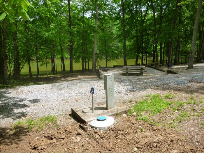
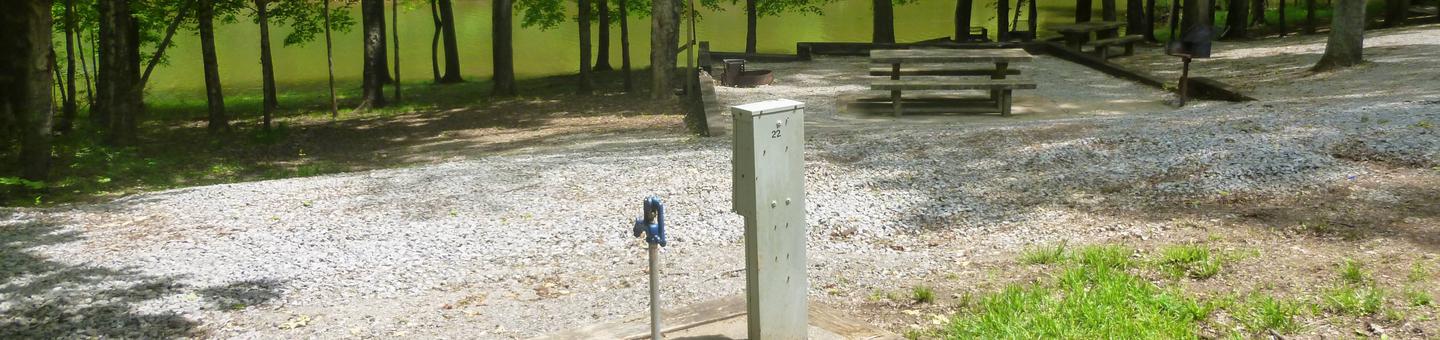
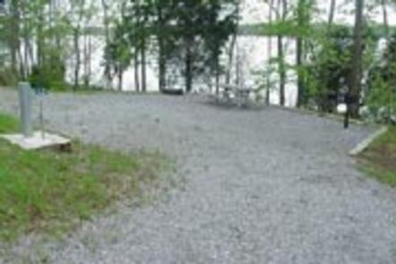
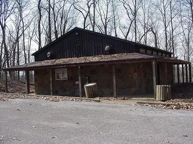
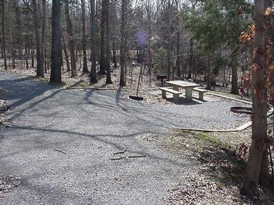
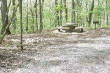
Poole Knobs Campground offers 87 shady and spacious campsites, along with one larger group camping site. The campground features drinking water, a dump station, flush toilets and hot showers, creating a comfortable camping experience. A boat ramp is provided, allowing guests to take advantage of the vast, sparkling lake. The group campsite can accommodate up to 40 campers, making it an ideal spot for family parties.
Natural Features
J. Percy Priest Dam and Lake was one of the first Corps of Engineers lakes to have recreation as part of its mission. The dam, completed in 1968, impounds 42 miles, with 14,200 surface acres of water. In soothing contrast to the sparkling waters of the lake are the adjacent 19,087 acres of grasslands and woodlands. A highlight of the region, the Cedar Glades Natural Area, is home to countless wildlife and plant species, including the Tennessee coneflower.
Nearby Attractions
J. Percy Priest Lake is conveniently located about ten miles east of downtown Nashville, offering visitors countless cultural activities in addition to the conveniences of a metro area.
Charges & Cancellations
There is a $10.00 transaction fee for all cancelled reservations.